
Country United States GNIS feature ID 0766328 Area 134 km² Population 1,029 (2000) | FIPS code 29-79594 Elevation 174 m Local time Sunday 6:47 AM | |
 | ||
Weather 6°C, Wind SE at 3 km/h, 89% Humidity | ||
Whitewater Township is one of eight townships in Bollinger County, Missouri, USA. As of the 2000 U.S. Census, its population was 911. As of the 2010 U.S. Census, the population had increased to 1,029. Whitewater Township covers an area of 51.76 square miles (134.1 km2).
Contents
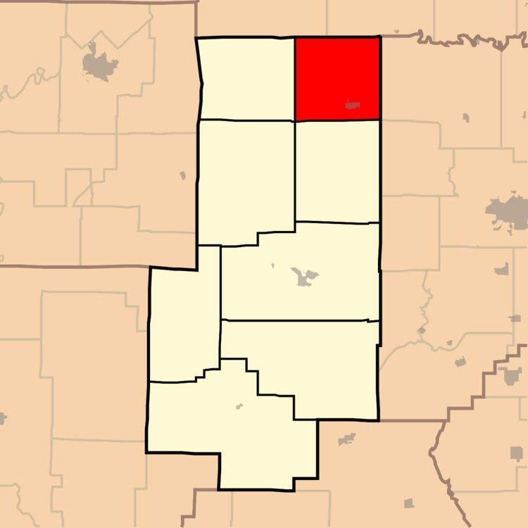
- Map of Whitewater Township MO USA
- Demographics
- Incorporated Areas
- Unincorporated Areas
- Cemeteries
- Streams
- Landmarks
- School Districts
- References
Map of Whitewater Township, MO, USA
Whitewater Township was erected in 1872, and named after the nearby Whitewater River.
Demographics
As of the 2010 U.S. Census, there were 1,029 people residing in the township. The population density was 19.88 people per square mile (51.49/km²). There were 438 households in the township. The racial makeup of the township was 99.13% White, 0.10% Native American, 0.10% from other races, and 0.68% from two or more races. Approximately 1.46% of the population were Hispanic or Latino of any race.
Incorporated Areas
The township contains one incorporated settlement: Sedgewickville.
Unincorporated Areas
The town contains the unincorporated area and historical community of Lixville.
Cemeteries
The township contains the eight following cemeteries: Bollinger, Flatwood, Grindstaff, Jones, Meyer, Old Bollinger, Shrum, and Statler.
Streams
The streams of Allie Creek, Bollinger Creek, Buck Creek, Caney Fork, Jack Creek, Little Muddy Creek, Shrum Creek, South Fork Apple Creek, and Wolf Creek flow through Whitewater Township. Other bodies of water located in the township include Richardet Lake and the Whitewater River.
Landmarks
There are no known landmarks in the township.