
Country Canada | ||
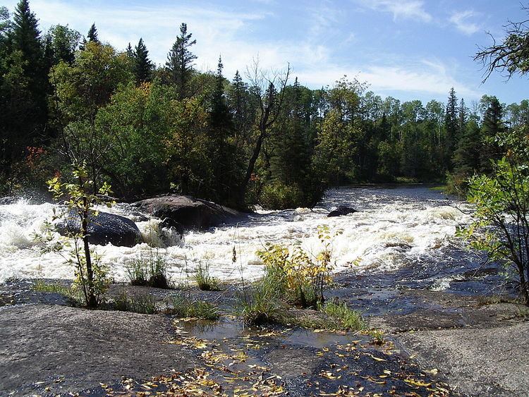 | ||
The Whiteshell River is one of the major rivers in Whiteshell Provincial Park, in southeastern Manitoba, Canada, near the Ontario border. This river is close to some petroform sites that are about 2000 years old or older. The name "whiteshell" is in reference to the Meegis or cowry shells used by Ojibwa peoples in their ceremonies and teachings, especially the Midewiwin, and as recorded in their birch bark scrolls.
Map of Whiteshell River, Division No. 1, Unorganized, MB, Canada
The river was used for thousands of years as a major canoe route by native peoples. The Winnipeg and Whiteshell Rivers are the only waterways to easily travel between Lake Winnipeg and Lake Superior. The copper culture period of about 4,000 years ago involved the trade of copper from the north shore of Lake Superior to the Whiteshell Provincial Park area and other areas now known as Manitoba and northwestern Ontario. Manitoba also has prehistoric quartz mines to the far north, and evidence of ancient quartz mining also exists along the Winnipeg River area. Quartz, copper, and other minerals were used to make prehistoric arrow heads, tools, scrapers, spears, and artwork.
Whiteshell Provincial Park is still a popular area for wild rice harvesting, as it was for thousands of years. Today this river system area is popular for canoeing, hiking, swimming, fishing, boating, and many cottages are located along the lakes and rivers of the park.
The geography and geology of the area consists of Canadian Shield granite rock ridges, cliffs, boreal forest, bogs, and only one main road through the park. It is a very wild and pristine area with many deer, bear, wolves, coyotes, bald eagles, fox, cougars, lynx, and other wildlife.