
Length 265 km Source elevation 1,302 m Country Canada | Basin area 55,500 km² | |
 | ||
Source Wrangell–St. Elias National Park and Preserve | ||
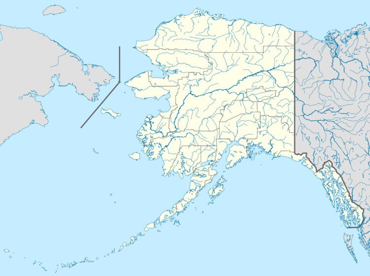
The White River is a tributary, about 200 miles (320 km) long, of the Yukon River in the U.S. state of Alaska and the Canadian territory of Yukon. The Alaska Highway crosses the White River near Beaver Creek.
Map of White River, Yukon, Unorganized, Yukon, Canada
The White River is glacier-fed and contains large amounts of suspended sediment. It transports 19 million tons of sediment per year in the upper part of its basin. This dramatically changes the clarity of the Yukon River, which remains sediment laden from the confluence to its mouth.
References
White River (Yukon) Wikipedia(Text) CC BY-SA