
Elevation 5,175 ft (1,577 m) Country United States | Length 28 mi (45 km) N-S State Arizona | |
 | ||
Peak Table Mountain (Arizona) (south, near terminus) Width 11 mi (18 km) E-W (variable) Communities Temple Bar Road, Dolan Springs | ||
The White Hills are a range of hills in northern Mohave County, Arizona. These hills lie north of the Cerbat Mountains and extend south from the Colorado River at Lake Mead between the Detrital Valley to the west and the Gold Basin and the upper Hualapai Valley to the east. The north region of the White Hills is located in Lake Mead National Recreation Area.
Contents
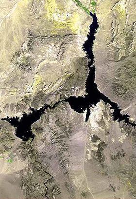
Map of White Hills, Arizona 86443, USA
The White Hills occur in a north, central, and south region. The approximate mountain range center is slightly northeast of White Hills, Arizona, the Senator Mountain, 5,127 feet (1,563 m).
History
The west side of the White Hills were the site of a gold rush in 1892. It resulted in the establishment of the boomtown of White Hills, in Arizona Territory, twenty miles east of the steamboat landing at Eldorado Canyon.