
Country New Zealand Local time Sunday 12:26 PM | Population 1,002 (2006) | |
 | ||
Weather 22°C, Wind N at 19 km/h, 75% Humidity | ||
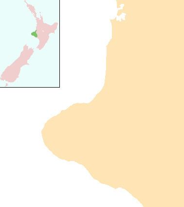
Whenuakura is a farming community on State Highway 3 east of Patea, at the southern end of Taranaki on the North Island of New Zealand. The boundary between the Taranaki and Wellington provinces runs through Whenuakura. There is the Whenuakura Primary School and Whenuakura Hall. Whenuakura is also bounded by the Patea and Whenuakura rivers.
Contents
The population of the Whenuakura statistical area was 1,002 in the 2006 Census, a decrease of 57 from 2001. The statistical area covers a large area to the northeast of Patea and not just the Whenuakura locality.
Whenuakura pa near the Whenuakura River bridge is the marae of the Kaikurakau and Pomotangi hapu. Families at this pa descend from Nga Rauru and Ngati Ruanui,(all directly from Rangitawhi and Aotea waka).
The New Zealand golfer Michael Campbell, winner of the 2005 US Open, descends from these iwi. He spent his early childhood at Whenuakura and learned to play golf at the Patea Golf Club about 8 km to the west.
Ohu whenuakura taranaki eltham
Education
Whenuakura School is a coeducational contributing primary (years 1-6) school with a decile rating of 4 and a roll of 33. The school celebrated 125 years of education in the district in 2002.