 | ||
Similar La Garita Caldera, North Clear Creek Falls, Last Chance Mine, Underground Mining Museum, San Luis Peak | ||
Driving up to wheeler geologic area
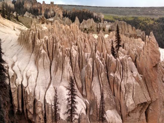
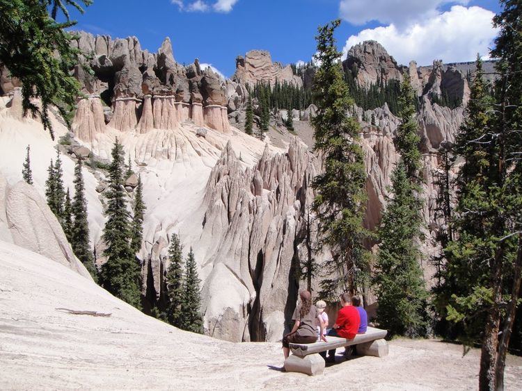
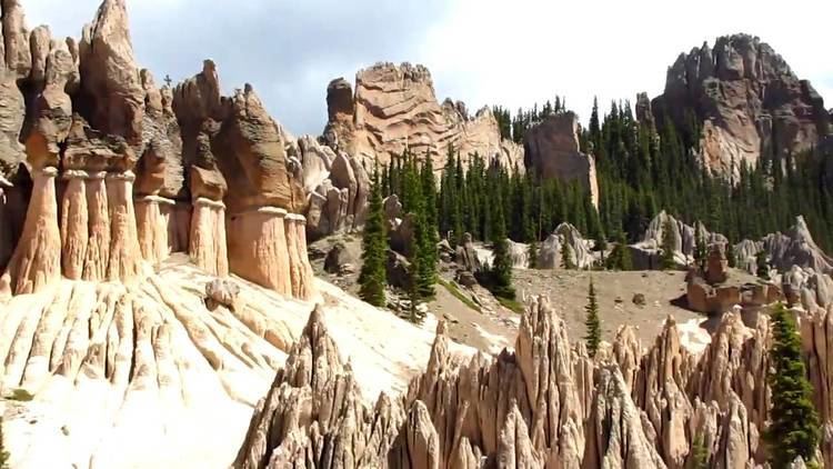
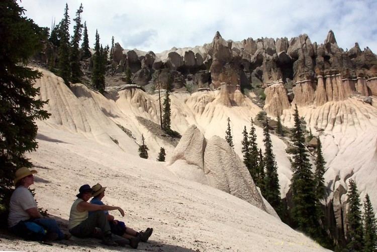
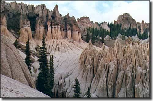
The Wheeler Geologic Area is a highly eroded outcropping of layers of volcanic ash, in the La Garita Mountains of Mineral County, in southern Colorado in the western United States about 10 miles east north-east of Creede. The ash is the result of eruptions from the La Garita Caldera approximately 25 millions years ago.
Contents
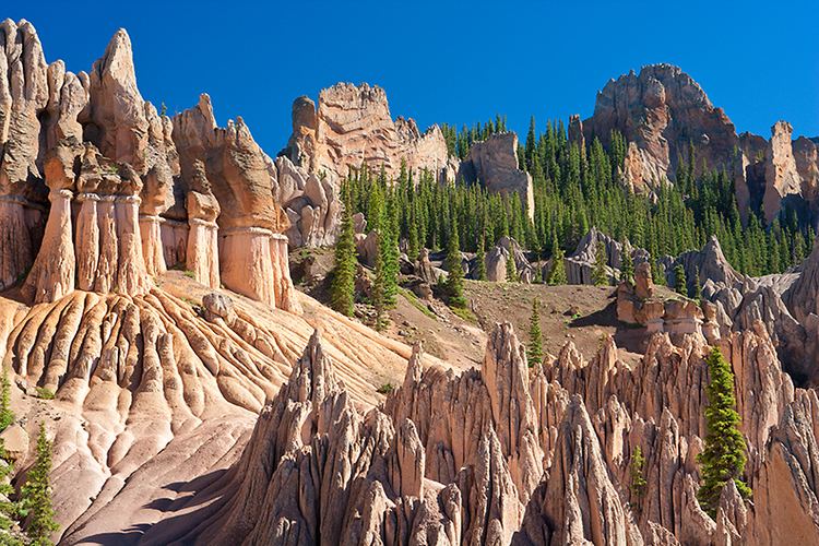
The area was designated a National Monument from 1908 until 1950 and was Colorado's first National Monument. It is now part of the La Garita Wilderness and administered by the Rio Grande National Forest. Lying just below the crest of the range at an elevation of 11,960 feet (3645 m), it can be reached by a 7-mile hike on the East Bellows Trail (FS790), or by a difficult 14 mile four-wheel drive road.
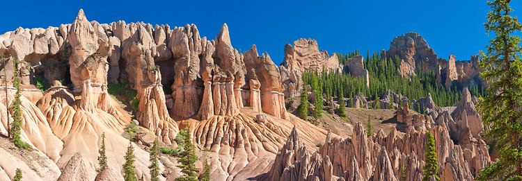
The formations are named after Captain George M. Wheeler, who explored and surveyed this area in 1874 for the U.S. Army.
Wheeler geologic area co