
Country New Zealand Time zone NZST (UTC+12) Website Official website Mayor Hamish McDouall | Postcode(s) Map of postcodes Area 2,373 km² | |
 | ||
Region Manawatu-Wanganui Region | ||
Whanganui District is one of the districts of New Zealand. It includes the city of Whanganui and surrounding areas.
Contents
Map of Whanganui, New Zealand
Geography
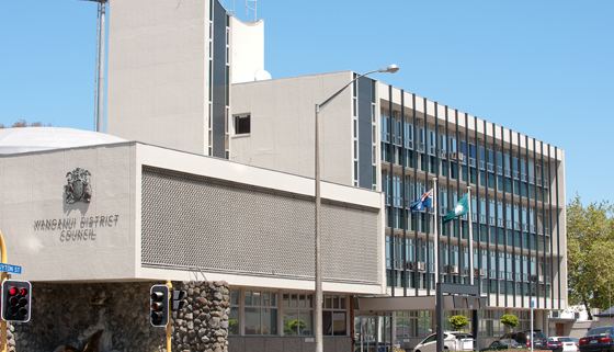
Formerly spelled "Wanganui", the Whanganui District Council resulted from the amalgamation of Wanganui and Waitotara county councils and Wanganui City Council. The district has an area of 2,373 km². Much of the land in Whanganui District is rough hill country surrounding the valley of the Whanganui River. A large proportion of this is within the Whanganui National Park.
In 2015 the New Zealand Geographic Board, at the request of the Wanganui District Council, changed the name of the district from Wanganui District to Whanganui District, bringing the name in line with the spelling of the river.
Population
The district's population at the June 2016 census was 43,800 All but some 4,200 people in the Whanganui District live in the city itself, meaning there are few prominent outlying settlements. A small but notable village is Jerusalem.