
Airport type Public 9/27 3,011 918 Asphalt Elevation 60 m | Elevation AMSL 197 ft / 60 m 3,011 918 18/36 2,876 Phone +1 334-285-5843 Serves Wetumpka | |
 | ||
Address 1285 AL-14, El, AL 36025, USA Similar Re/Max Properties, Re/Max Properties: Lynn Clark, City of Wetumpka, Alfa Realty Inc, Realty Central LLC | ||
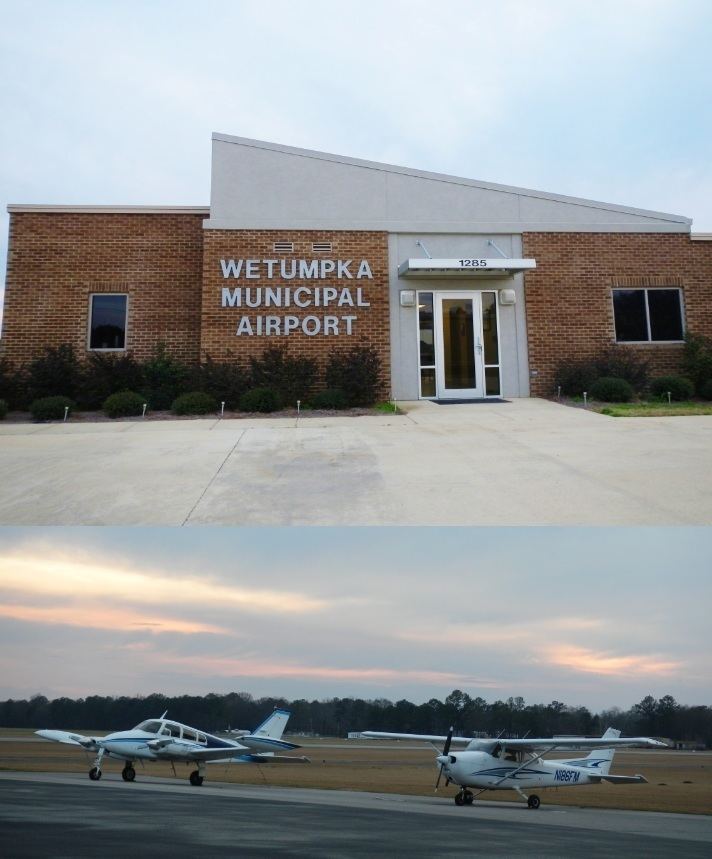
Wetumpka Municipal Airport (FAA LID: 08A) is a city-owned, public-use airport located six nautical miles (6.9 mi, 11.1 km) west of the central business district of Wetumpka, a city in Elmore County, Alabama, United States. It is included in the FAA's National Plan of Integrated Airport Systems for 2011–2015, which categorized it as a general aviation facility. During World War II the airport, known then as Elmore Auxiliary Field, served as an auxiliary field for Gunter Army Airfield training operations. In 2013 the airport was listed in the Alabama Register of Landmarks and Heritage.
Facilities and aircraft
Wetumpka Municipal Airport covers an area of 312 acres (126 ha) at an elevation of 197 feet (60 m) above mean sea level. It has two runways: 9/27 is 3,011 by 80 feet (918 x 24 m) with an asphalt surface; 18/36 is 2,876 by 130 feet (877 x 40 m) with a turf surface.
For the 12-month period ending December 7, 2010, the airport had 39,400 general aviation aircraft operations, an average of 107 per day. At that time there were 80 aircraft based at this airport: 89% single-engine, 9% multi-engine, 1% helicopter and 1% glider.