
Country Netherlands Elevation 0 m (0 ft) Postcode 3233–3235 Area 97.52 km² Province South Holland | Established 1 January 1980 Time zone CET (UTC+1) Website www.westvoorne.nl Local time Saturday 3:42 PM Area code 0181 | |
 | ||
Weather 13°C, Wind W at 13 km/h, 74% Humidity Points of interest Bezoekerscentrum Tenellaplas, Openluchtmuseum De Duinhuisjes, In den Halven Maen | ||
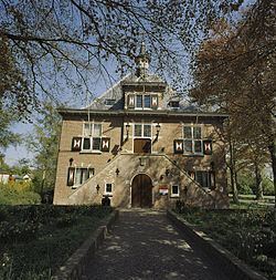
Westvoorne ( pronunciation ) is a municipality on the island Voorne-Putten in the western Netherlands, in the province of South Holland. The municipality covers an area of 97.48 km2 (37.64 sq mi) of which 44.25 km2 (17.09 sq mi) is water. It had a population of 14,013 in 2014.
Contents
Map of Westvoorne, Netherlands
The municipality of Westvoorne was formed on 1 January 1980, through the merger of the former municipalities of Oostvoorne and Rockanje. It consists the population centres of Oostvoorne, Rockanje, Tinte and Helhoek.
Trivia
In 2011 Westvoorne has received the QualityCoast Gold Award for its efforts to become a sustainable tourism destination. Because of this award Westvoorne has been selected for inclusion in the global atlas for sustainable tourism DestiNet.
References
Westvoorne Wikipedia(Text) CC BY-SA