
Country United States ZIP codes 82731 Elevation 1,159 m | Time zone Mountain (MST) (UTC-7) GNIS feature ID 1604109 Local time Saturday 6:49 AM | |
 | ||
Weather 2°C, Wind S at 6 km/h, 94% Humidity | ||
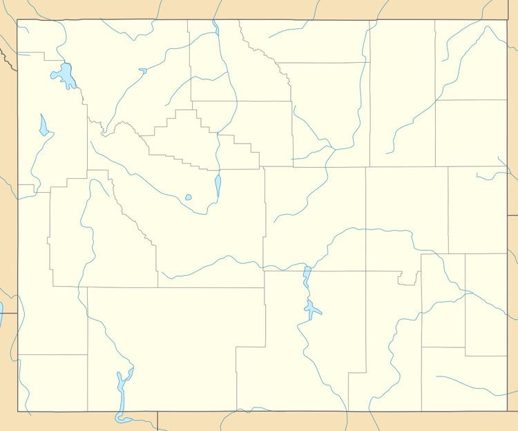
Weston is an unincorporated community in northern Campbell County, Wyoming, United States, along the upper Little Powder River on the southeastern edge of the Thunder Basin National Grassland. It lies along WYO 59 north of the city of Gillette, the county seat of Campbell County. Its elevation is 3,802 feet (1,159 m). Although Weston is unincorporated, it has a post office, with the ZIP code of 82731.
Contents
Map of Weston, WY 82731, USA
Education
Public education in the community of Weston is provided by Campbell County School District #1.
References
Weston, Wyoming Wikipedia(Text) CC BY-SA