
Governing body U.S. Forest Service Area 2,216 km² Established June 23, 1960 | Nearest city Gillette, WY Phone +1 307-358-4690 | |
 | ||
Website Medicine Bow-Routt National Forests & Thunder Basin National Grassland Management United States Forest Service Similar US Forestry Departme, Keyhole State Park, All Seasons RV Park, High Plains Campgro, Empire Guesthou and RV P | ||
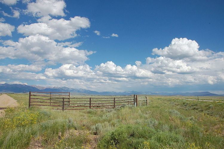
The Thunder Basin National Grassland is located in northeastern Wyoming in the Powder River Basin between the Big Horn Mountains and the Black Hills. The Grassland ranges in elevation from 3,600 feet (1,100 m) to 5,200 feet (1,600 m), and the climate is semi-arid. The Grassland provides opportunities for recreation, including hiking, sightseeing, hunting, and fishing. There are no developed campgrounds; however, camping is allowed. The Grassland abounds with wildlife year-round, provides forage for livestock, and is underlain with vast mineral resources. Land patterns are very complex because of the intermingled federal, state, and private lands.
In descending order of land area, it is located in parts of Weston, Converse, Campbell, Niobrara, and Crook counties. It is managed together with Medicine Bow - Routt National Forest from Forest Service offices in Laramie, Wyoming; its local ranger district office is in Douglas.