Puneet Varma (Editor)

Western Street (Hong Kong)

Updated on
Edit
Like
Comment
Share on FacebookTweet on TwitterShare on LinkedInShare on Reddit
Major cities
  
Hong Kong

Western Street (Hong Kong)

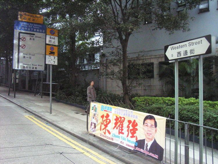
Western Street (traditional Chinese: 西邊街; simplified Chinese: 西边街; pinyin: Xībiān Jiē; Cantonese Yale: sai1 bin1 gaai1) is an uphill one-way street (from north to south) in Sai Ying Pun, Hong Kong. It connects Bonham Road in the south and Connaught Road West in the north. There are 337 units in 17 buildings in the street. Addresses are odd on the west side of the street, and mostly even on the east side. However, on the newer part of the street, on the reclamation north of Queen's Road West, the east side has both odd and even numbered addresses.

Contents

Map of Western St, Sai Wan, Hong Kong

Landmarks

From North to south

  • Western Police Station, near Des Voeux Road West
  • Western Magistracy, government offices between Queen's Road West and First Street.
  • Western District Community Centre between Second and Third Streets. The building was first built in 1922 as the Tsan Yuk Maternity Hospital operated under the Chinese Public Dispensary Committee.
  • Kau Yan School and Kau Yan Church, below High Street
  • King's College, near Bonham Road
  • Residential Buildings

    Named buildings from North to south

  • Wing Cheung Building with 23 floors and 90 units
  • Scholar Court with 24 units
  • Intersecting Streets

    From North to south

  • Connaught Road West
  • Des Voeux Road West
  • Pok Fu Lam Road
  • Queen's Road West
  • First Street
  • Second Street
  • Third Street
  • High Street
  • Bonham Road
  • References

    Western Street (Hong Kong) Wikipedia