
South end Shek Pai Wan Road Length 5.1 km | Major cities Hong Kong | |
 | ||
Pokfulam Road, or Pok Fu Lam Road, is a four-lane road in Hong Kong. Built on Hong Kong Island, the road runs between Sai Ying Pun and Wah Fu, through Pok Fu Lam.
Contents
Map of Pok Fu Lam Rd, Hong Kong
Description
It runs south from Sai Ying Pun, passing The University of Hong Kong along the Belcher's, with a road junction with Pokfield Road. The vegetation in this area is largely preserved, unlike many roads in the urban built-up areas of Hong Kong. Further south, the Pok Fu Lam playground, a public playground, is located near the junction with Mount Davis Road in Mount Davis. Down the road, Queen Mary Hospital, a large hospital complex, borders the junction with Sassoon Road and Bisney Road. Recently, the junction was renovated into a large intersection with highway loops, in order to ease traffic congestion. Further down the road, there is a large reservoir, a school for the blind, a vocational education centre and two large housing complexes: Chi Fu Fa Yuen and Pokfulam Gardens. The road ends at the Pokfulam Fire Station.
Spelling
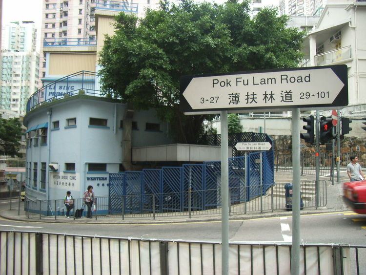
The road name is always spelled as Three words Pok Fu Lam Road (see road sign above), and not Pokfulam Road. Many of its traditionally expatriate residents pronounce it Pok Fulham (as in the London borough). The road is more commonly referred to as Pok Fu Lam in Cantonese.
Along Pokfulam Road is one of the more recent property developments, The Belcher's, built in 2000-2001.
Intersections
Listed from south to north.
One-way section
Listed from north to south. The entire road is in Sai Ying Pun, Central and Western District.