
Country United States County Albany ZIP codes 12055, 12193 Elevation 348 m Area code 518 | State New York Time zone Eastern (EST) (UTC-5) FIPS code 36-79851 Population 3,361 (2010) Local time Saturday 2:15 AM | |
 | ||
Weather -1°C, Wind NE at 11 km/h, 91% Humidity Area 151.8 km² (150 km² Land / 181 ha Water) | ||
Westerlo is a town in Albany County, New York, United States. The population was 3,361 at the 2010 census.
Contents
- Map of Westerlo NY 12193 USA
- History
- Geography
- Demographics
- Communities and locations in Westerlo
- References
Map of Westerlo, NY 12193, USA
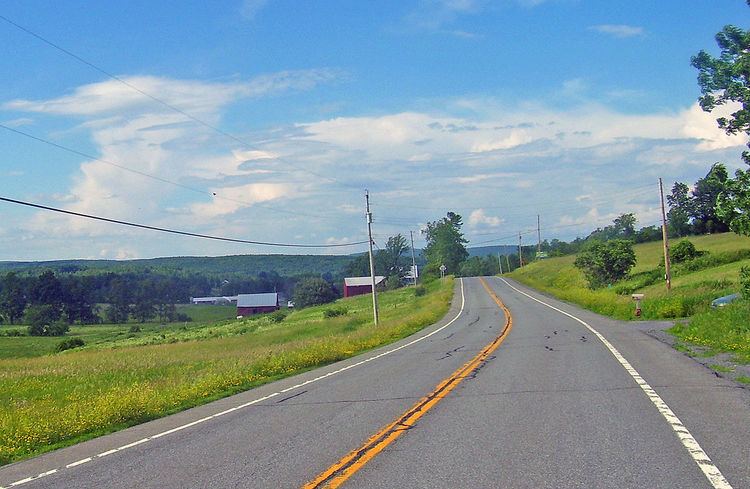
The town is on the south border of Albany County.
History
Westerlo was formed from parts of the Towns of Coeymans and Rensselaerville in 1815. It is named after Rev. Eilardus Westerlo (1738–1790), who was minister of the Reformed Protestant Dutch Church (now called The First Church) in Albany, NY, from 1760 to 1790.It was originally named Chestertown.
Geography
According to the United States Census Bureau, the town has a total area of 58.5 square miles (152 km2), of which, 57.9 square miles (150 km2) of it is land and 0.7 square miles (1.8 km2) of it (1.14%) is water. It was originally named Chestertown.
Demographics
As of the census of 2000, there were 3,466 people, 1,326 households, and 970 families residing in the town. The population density was 59.9 people per square mile (23.1/km²). There were 1,537 housing units at an average density of 26.6 per square mile (10.3/km²). The racial makeup of the town was 98.27% White, 0.55% African American, 0.12% Native American, 0.20% Asian, 0.14% from other races, and 0.72% from two or more races. Hispanic or Latino of any race were 0.92% of the population.
There were 1,326 households out of which 33.9% had children under the age of 18 living with them, 60.6% were married couples living together, 7.8% had a female householder with no husband present, and 26.8% were non-families. 22.2% of all households were made up of individuals and 9.4% had someone living alone who was 65 years of age or older. The average household size was 2.61 and the average family size was 3.06.
In the town, the population was spread out with 26.5% under the age of 18, 5.4% from 18 to 24, 28.9% from 25 to 44, 26.6% from 45 to 64, and 12.6% who were 65 years of age or older. The median age was 39 years. For every 100 females there were 95.3 males. For every 100 females age 18 and over, there were 95.2 males.
The median income for a household in the town was $48,488, and the median income for a family was $55,660. Males had a median income of $39,516 versus $28,393 for females. The per capita income for the town was $21,000. About 4.4% of families and 5.4% of the population were below the poverty line, including 5.9% of those under age 18 and 2.5% of those age 65 or over.
Hannay Reels, the nation’s largest manufacturer of hose reels, is located in Westerlo.