
Country Belgium Postal codes 2260 Area 55.13 km² Province Antwerp | Area codes 014 - 015 - 016 Postal code 2260 Local time Saturday 8:15 AM | |
 | ||
Weather 11°C, Wind S at 8 km/h, 90% Humidity | ||
Westerlo ( [ˈʋɛstərloː]) is a municipality located in the Belgian province of Antwerp. The municipality comprises seven towns:
Contents
Map of Westerlo, Belgium
On January 1, 2006 Westerlo had a total population of 22,896. The total area is 55.13 km² which gives a population density of 415 inhabitants per km².
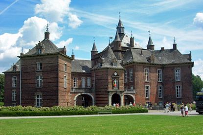
Places of interest
Tongerlo Abbey contains a very old and fine copy of Leonardo da Vinci's The Last Supper. It is also known as home of the Tongerlo Abbey beer, but this is no longer brewed at the abbey.
References
Westerlo Wikipedia(Text) CC BY-SA