
Time zone AST (UTC-3) Population 8,616 (2012) | Area 1,168 km² | |
 | ||
Gisteren heeft de ndp afdeling nickerie haar jongeren in de westelijke polders een stukje politieke
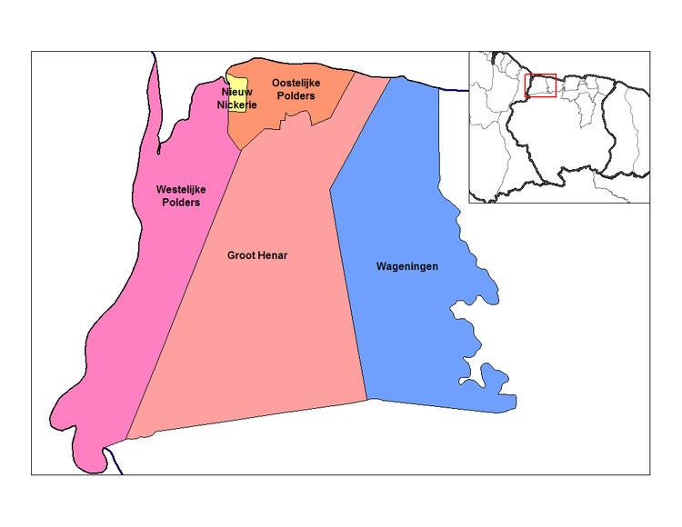
Westelijke Polders is a resort in Suriname, located in the Nickerie District. Its population at the 2012 census was 8,616.
Contents
- Gisteren heeft de ndp afdeling nickerie haar jongeren in de westelijke polders een stukje politieke
- Map of Westelijke Polders Suriname
- References
Map of Westelijke Polders, Suriname
Its Dutch placename (in English 'western polders') reflects Suriname's colonial past.
Its western boundary is the Courantyne River, between Suriname and Guyana.
References
Westelijke Polders Wikipedia(Text) CC BY-SA