
Length 724 km | ||
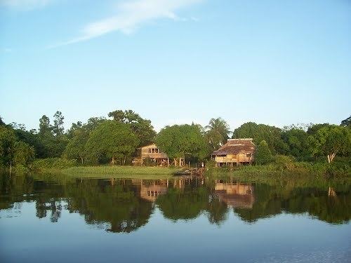 | ||
The Courantyne/Corentyne/Corantijn River is a river in northern South America in Suriname. It is the longest river in the country. The river originates in the Acarai Mountains and flows northward via the Upper Courantyne which is the source river for approximately 724 km (450 mi) between Guyana and Suriname, emptying into the Atlantic Ocean near Corriverton, Guyana and Nieuw Nickerie, Suriname. A ferry service operates between these two towns.
Contents
Map of Courantyne River
Small ocean-going vessels are able to navigate the river for about 120 km, to Apura, Suriname.
Waterfalls
The Wonotobo Falls, Frederik Willem IV (Anora) Falls, and the King George VI Falls are on the Courantyne River. Other falls include the Barrington Brown Falls, the Drios Falls and the Maopityan Falls.
Territorial dispute
Between the upper reaches of the Courantyne, the Upper Courantyne, the Coeroeni and the Koetari rivers lay the controversial Tigri Area claimed by both Suriname and Guyana. The Guyanese–Surinamese border is the Guyanese river bank (the west bank of the river), Suriname regarded the left bank of the Courantyne as a border, but Guyana disputes this and viewed the center of the river as a frontier, based on the Thalweg Doctrine. This conflict, which has been fueled since the colonial era, was solved in 2007 by a speech by the Hague Arbitration Court, which crosses the border between Guyana and Suriname on the left bank of the river, and the river belongs to the eastern Suriname. The tribunal that defined the maritime boundary between Suriname and Guyana in 2007 confirmed Surinamese sovereignty over the full width of the Courantyne River. Suriname has control over all ship traffic from the mouth of the Courantyne.