
Country United States FIPS code 36-81094 Elevation 566 m Local time Friday 11:52 PM Area code 315 | State New York Time zone Eastern (EST) (UTC-5) GNIS feature ID 979628 Zip code 13325 Population 1,524 (2010) | |
 | ||
Weather 0°C, Wind SE at 10 km/h, 93% Humidity Area 265.2 km² (264.7 km² Land / 52 ha Water) | ||
West Turin is a town in Lewis County, New York, United States. The population was 1,524 at the 2010 census. The name is derived from its parent town, Turin.
Contents
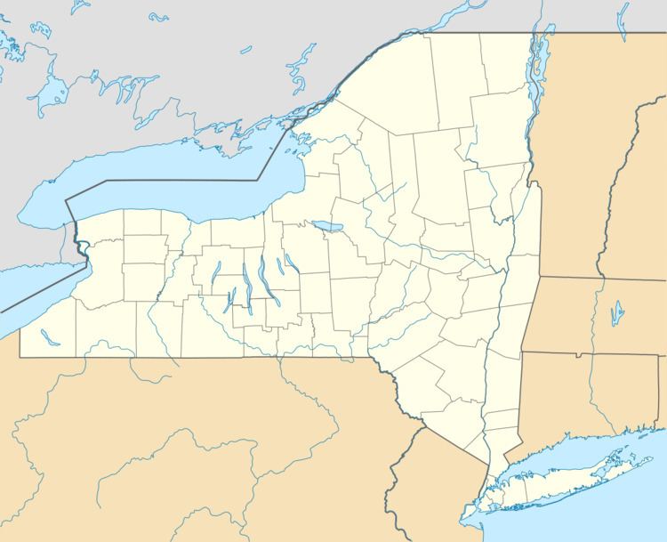
- Map of West Turin NY USA
- History
- Geography
- Demographics
- Communities and locations in West Turin
- References
Map of West Turin, NY, USA
The Town of West Turin is in the south-central part of the county and is north of Rome.
History
The town was first settled around 1796, near Constableville.
West Turin was formed from part of Town of Turin in 1830 and was subsequently reduced in size by the formation of newer towns: Montague (1850) and Osceola (1844). The Town of West Turin now includes the former "Town of Highmarket," which was disbanded in 1973. Highmarket had been set apart from West Turin in 1852.
Geography
According to the United States Census Bureau, the town has a total area of 102.4 square miles (265 km2), of which 102.2 square miles (265 km2) is land and 0.2 square miles (0.52 km2) (0.18%) is water.
The Black River forms the east town line. West Turin is on the Tug Hill Plateau of northwestern New York.
New York State Route 26 and New York State Route 12D are north-south highways. New York State Route 12 is a north-south highway near the Black River.
Demographics
As of the census of 2000, there were 1,674 people, 635 households, and 433 families residing in the town. The population density was 16.4 people per square mile (6.3/km²). There were 971 housing units at an average density of 9.5 per square mile (3.7/km²). The racial makeup of the town was 99.22% White, 0.18% Native American, 0.06% Asian, 0.24% from other races, and 0.30% from two or more races. Hispanic or Latino of any race were 0.12% of the population.
There were 635 households out of which 31.2% had children under the age of 18 living with them, 51.8% were married couples living together, 10.1% had a female householder with no husband present, and 31.7% were non-families. 25.8% of all households were made up of individuals and 13.2% had someone living alone who was 65 years of age or older. The average household size was 2.64 and the average family size was 3.16.
In the town, the population was spread out with 27.4% under the age of 18, 7.9% from 18 to 24, 27.7% from 25 to 44, 22.2% from 45 to 64, and 14.9% who were 65 years of age or older. The median age was 38 years. For every 100 females there were 104.9 males. For every 100 females age 18 and over, there were 101.7 males.
The median income for a household in the town was $35,150, and the median income for a family was $41,618. Males had a median income of $32,065 versus $21,838 for females. The per capita income for the town was $15,538. About 13.5% of families and 16.4% of the population were below the poverty line, including 19.8% of those under age 18 and 13.8% of those age 65 or over.