
Country United States FIPS code 36-48032 Elevation 550 m Population 78 (2010) Area code 315 | State New York Time zone Eastern (EST) (UTC-5) GNIS feature ID 979230 Zip code 13367 Local time Friday 5:35 PM | |
 | ||
Weather -1°C, Wind W at 14 km/h, 32% Humidity Area 169.1 km² (168.6 km² Land / 52 ha Water) | ||
Montague is a town in Lewis County, New York, United States. The population was 78 at the 2010 census. The town is named after Mary Montague Pierpont, the daughter of the original owner.
Contents
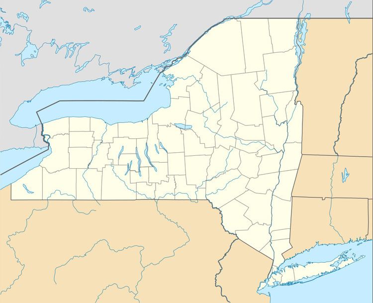
Map of Montague, NY, USA
The Town of Montague is on the west border of Lewis County. Montague is west of Lowville, the county seat and is southeast of Watertown.
History
The first settlements began around 1846. In 1850, the Town of Montague was formed from part of the Town of West Turin. The town's population was 975 in 1880, the highest level in the town's history. The town is now famous for snowmobile trails.
Geography
According to the United States Census Bureau, the town has a total area of 65.3 square miles (169 km2), of which 65.1 square miles (169 km2) is land and 0.2 square miles (0.52 km2) (0.32%) is water.
The west town line is the border of Jefferson and Oswego counties.
Demographics
As of the census of 2000, there were 108 people, 45 households, and 28 families residing in the town. The population density was 1.7 people per square mile (0.6/km²). There were 267 housing units at an average density of 4.1 per square mile (1.6/km²). The entire town is White.
There were 45 households out of which 24.4% had children under the age of 18 living with them, 55.6% were married couples living together, 4.4% had a female householder with no husband present, and 35.6% were non-families. 28.9% of all households were made up of individuals and 13.3% had someone living alone who was 65 years of age or older. The average household size was 2.40 and the average family size was 2.97.
In the town, the population was spread out with 25.0% under the age of 18, 1.9% from 18 to 24, 28.7% from 25 to 44, 30.6% from 45 to 64, and 13.9% who were 65 years of age or older. The median age was 40 years. For every 100 females there were 83.1 males. For every 100 females age 18 and over, there were 97.6 males.
The median income for a household in the town was $34,688, and the median income for a family was $36,250. Males had a median income of $28,750 versus $19,000 for females. The per capita income for the town was $14,598. There were 10.3% of families and 14.9% of the population living below the poverty line, including 17.9% of under eighteens and 30.0% of those over 64.