
Topo map OS Landranger 58 Prominence 405 m Listing Marilyn | OS grid NO197066 Elevation 522 m | |
 | ||
Similar Benarty Hill, Cairnie Hill, Moncreiffe Hill, Broad Law, Scald Law | ||
West Lomond is the highest point in the county of Fife, Scotland and the highest peak in the Lomond Hills. Its volcanic dolerite cone rises above an escarpment of carboniferous sandstone and limestone layers. The conspicuous peaks of West Lomond, and its neighbour East Lomond, are visible for many miles around, which explains their name, the 'Lomond' or 'Beacon' hills.
Contents
Map of West Lomond, Glenrothes, UK
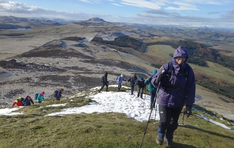
West Lomond is usually climbed from Craigmead car park on the Falkland-Leslie road, as this sits at a height of almost 300 metres. From the car park, leave the trees by a wishing gate, and follow a broad grassy path roughly north-west which joins a track after about 320 metres. Follow this track and subsequent path, which has recently been re-laid to limit erosion, all the way to the summit cone of West Lomond. On reaching the base of this cone, one has the choice of two possible routes of ascent. One path zigzags steeply up the eastern (near) face of the hill, whilst the other, the easier route, skirts round to the north of the peak, before climbing up the far side to the summit. As the hill's prominence would suggest, one obtains a fantastic panorama from its summit, not only of the surrounding countryside, but of the greater part of the Central Belt, as well as the Southern Highlands and the Grampian Mountains. On the summit are the remains of an Iron Age Hill fort.
Another route of ascent leaves from the Bunnet Stane and climbs diagonally up the steep north slopes of the escarpment to a gap in the cliffs, above which one gains the plateau a short distance from the summit cone. On this route there are more interesting features to the landscape, however the climb is steeper and begins at a much lesser altitude than the Craigmead car park.
Geodesy
Up to 1891 West Lomond was the origin (meridian) of the 6 inch and 1:2500 Ordnance Survey maps of Kinross and Fife. After that the maps of Kinross and Fife were drawn according to the meridian of The Buck in Aberdeenshire.