
Population 3,806 (2011 census) Postcode(s) 6007 Postal code 6007 | Established 1890s Area 140 ha | |
 | ||
Location 3 km (2 mi) NW of Perth CBD | ||
West Leederville is a suburb 3 kilometres (1.9 mi) northwest of the central business district of Perth, the capital of Western Australia, and is within the Town of Cambridge. It used to be integrated with Leederville (now within the City of Vincent) prior to the construction of Mitchell Freeway through the suburb in 1972.
Contents
- Map of West Leederville WA 6007 Australia
- History
- Leederville Town Hall and Recreation Complex
- References
Map of West Leederville WA 6007, Australia
The tiny section east of Southport Street is a commercial area with several warehouses, taking advantage of its location at the end of the Graham Farmer Freeway. The rest of the suburb is medium-density residential. The suburb backs onto Subiaco Oval, the home of Australian rules football in Western Australia, and St John of God Hospital Subiaco. Many of the original residences still stand with most being renovated next to newer double storey dwellings, leafy streets with some properties gaining views of the city. Prestigious "Hill of Tara" subdivision is a newer subdivision with larger homes on bigger blocks with many affording view of Lake Monger.
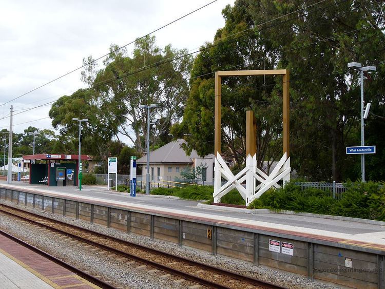
It is served by bus services along Cambridge and Ruislip Streets and the Leederville train station (Joondalup/Clarkson line) and West Leederville train station (Fremantle line).
History
West Leederville, though informally known by that name for many years, was officially gazetted as a suburb in 1998.
West Leederville is the earliest area of residential subdivision in the Town of Cambridge. It was originally formed from the sale and subdivision of the estate of William Leeder that occurred from 1891 onwards. West Leederville Primary School was founded in 1898. Most of West Leederville's residential land was subdivided prior to 1903.
The Home of the Good Shepherd Convent (now the Catholic Education Centre) was established in 1903 by the Good Shepherd Sisters.
Most of West Leederville was well developed with houses before 1925.
Until the 1950s, a tram ran down Woolwich Street. With a one in fourteen gradient, Woolwich Street was one of the steepest tram lines in the city.
Subdivision of the Hill of Tara occurred in the 1990s when land was released around the Catholic Education Centre in Ruislip Street.
Leederville Town Hall and Recreation Complex
The Leederville Town Hall & Recreation Complex is bounded by Holyrood Street, Tower Street and Cambridge Street. It forms a central focus of West Leederville. It is historically significant in the development of Leederville and the surrounding district, and was developed in response to the rapid expansion of the suburb prior to the First World War. It was designed by A. E. Clarke and built in 1916 by local builder, W. H. Roberts.
The Leederville Bowling Club was established to the rear of the Leederville Town Hall in 1906, and continues to operate both as a bowling club and a social venue. The bowling club was the first sporting facility established on the site and was developed in association with the Excelsior Masonic Lodge.
The Fallen Soldier’s Memorial was designed and executed in 1924 by Pietro Porcelli.
The Leederville Croquet Club operated on the site from 1908 until 2006.
In 2007 the West Leederville Residents Association began a community garden on an unused area of council land next to the bowling club.