
Established 1851 LGA(s) City of Subiaco Subiaco West Perth Founded 1851 Local time Thursday 5:49 PM Federal division Division of Curtin | Postcode(s) 6008 State electorate(s) Nedlands Area 3.2 km² Postal code 6008 Population 7,127 (2001) | |
 | ||
Location 4 km (2 mi) W of Perth CBD Weather 23°C, Wind S at 21 km/h, 44% Humidity | ||
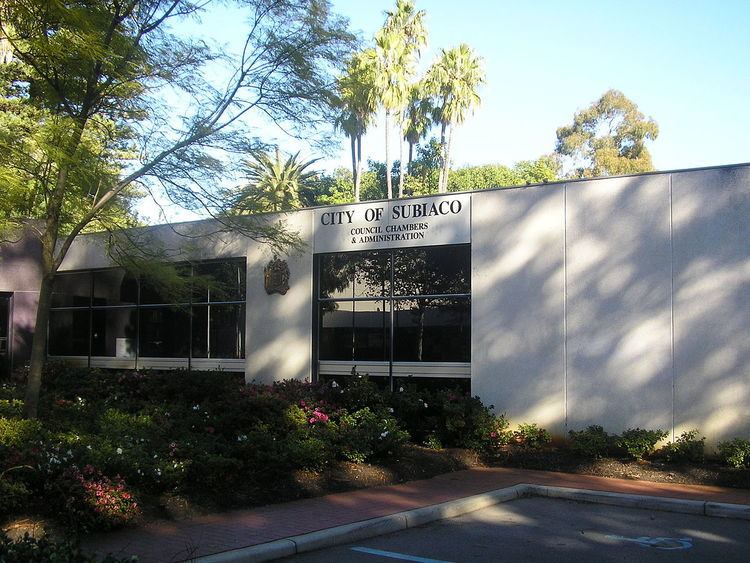
Subiaco (known colloquially as Subi) is an inner western suburb of Perth, Western Australia, north-west of Kings Park. Its local government area is the City of Subiaco.
Contents
Map of Subiaco WA 6008, Australia
History
Prior to European settlement the area was home to the Noongar Indigenous people.
The area was settled in 1851 by Italian Benedictine monks. The monks named the area after Subiaco in Italy, the location where Benedict of Nursia, the founder of the Order of Saint Benedict, had begun his work.
Landmarks
Landmarks of the suburb include Subiaco Oval aka Domain Stadium, Mueller Park, the Regal Theatre, the Subiaco Hotel, the Victorian terraces on Catherine Street and the Subiaco Arts Centre.
The main street of Subiaco is Rokeby Road, which was named after General Henry Montagu, 6th Baron Rokeby, who was commander of the 1st Infantry Division during the Crimean War. Another important commercial road is Hay Street.
Residential areas include Subi Centro, a modern housing development with the sunken Subiaco railway station on reclaimed industrial land near Wembley, and older heritage properties towards Shenton Park.
Major hospital facilities include St John of God Hospital, Princess Margaret Hospital for Children and King Edward Memorial Hospital for Women.
School facilities include Subiaco Primary School and Perth Modern School, the only academically selective school in Western Australia.
On the corner of Rokeby and Hamersley Roads is a clock tower war memorial, built in 1923 to commemorate soldiers from the district who died in World War I. The names of those who died in later conflicts have also been added.
Events
Each year, the City of Subiaco supports a boutique street festival where Rokeby Road is closed off from traffic between Barker Road and Hay Street. It is commonly referred to as the 'Subiaco Street Party' and is a free community event that promotes live music, street food, markets and family entertainment.