
Population 265 (2001 census) Civil parish West Hagbourne Area 4.12 km² Dialling code 01235 | OS grid reference SU5187 Sovereign state United Kingdom Local time Saturday 12:28 AM UK parliament constituency Wantage | |
 | ||
Weather 8°C, Wind SE at 14 km/h, 85% Humidity | ||
West Hagbourne is a village and civil parish in the Berkshire Downs about 2 miles (3 km) south of Didcot.
Contents
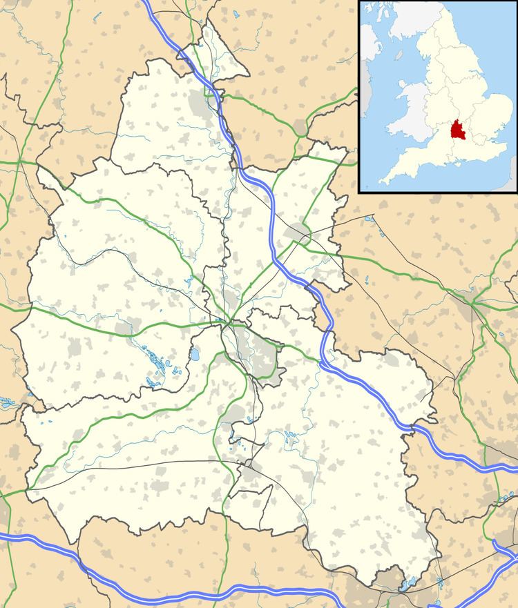
Map of West Hagbourne, UK
History
The village was part of Berkshire until the 1974 boundary changes transferred it to Oxfordshire and from the former Wallingford Rural District to the district of South Oxfordshire and was divided from its eastern companion in the late medieval period.
Amenities
West Hagbourne's Church of England parish church is St. Andrew's, East Hagbourne.
West Hagbourne has a public house, the Horse & Harrow.
Education
Hagbourne Church of England Primary School in neighbouring East Hagbourne serves West Hagbourne. The County secondary schools that serve West Hagbourne are in Didcot: St. Birinus School (for boys) and Didcot Girls School.
Transport
The village is served six times daily Monday — Saturday by Heyfordian Travel route 94 from West Hagbourne to Didcot via Blewbury.
Current developments
The character of the village would be changed by Vale of White Horse District Council's plans to expand the town of Didcot. Building development on a large area of land to the west of Didcot, to be known as Great West Park, would add 3,000 houses to Didcot. Further plans for 2010, to a further 3,000 or more houses as part of the South East regional development plan, will further change the nature of the villages that lie on the periphery of the town of Didcot.