
Country United States FIPS code 19-83775 Elevation 236 m Zip code 52359 Local time Friday 4:44 PM | Time zone Central (CST) (UTC-6) GNIS feature ID 0462835 Area 65 ha Population 148 (2013) Area code 319 | |
 | ||
Weather 6°C, Wind N at 11 km/h, 79% Humidity | ||
West Chester is a city in Washington County, Iowa, United States. It is part of the Iowa City, Iowa Metropolitan Statistical Area. The population was 146 at the 2010 census.
Contents
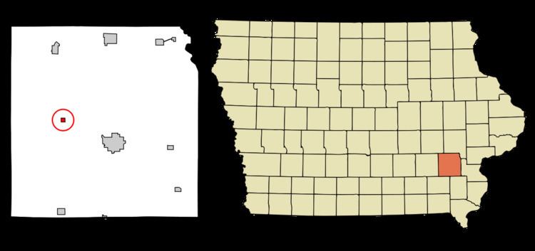
Map of West Chester, IA 52359, USA
History
West Chester was laid out in 1872.
Geography
West Chester is located at 41°20′19″N 91°49′0″W (41.338512, -91.816725).
According to the United States Census Bureau, the city has a total area of 0.25 square miles (0.65 km2), all of it land.
2010 census
As of the census of 2010, there were 146 people, 63 households, and 45 families residing in the city. The population density was 584.0 inhabitants per square mile (225.5/km2). There were 75 housing units at an average density of 300.0 per square mile (115.8/km2). The racial makeup of the city was 95.2% White, 0.7% African American, 0.7% Native American, 0.7% from other races, and 2.7% from two or more races. Hispanic or Latino of any race were 2.1% of the population.
There were 63 households of which 25.4% had children under the age of 18 living with them, 52.4% were married couples living together, 11.1% had a female householder with no husband present, 7.9% had a male householder with no wife present, and 28.6% were non-families. 27.0% of all households were made up of individuals and 9.5% had someone living alone who was 65 years of age or older. The average household size was 2.32 and the average family size was 2.73.
The median age in the city was 46.7 years. 19.2% of residents were under the age of 18; 6.7% were between the ages of 18 and 24; 19.9% were from 25 to 44; 35.6% were from 45 to 64; and 18.5% were 65 years of age or older. The gender makeup of the city was 52.7% male and 47.3% female.
2000 census
As of the census of 2000, there were 159 people, 70 households, and 42 families residing in the city. The population density was 629.0 people per square mile (245.6/km²). There were 74 housing units at an average density of 292.8 per square mile (114.3/km²). The racial makeup of the city was 98.74% White, and 1.26% from two or more races.
There were 70 households out of which 21.4% had children under the age of 18 living with them, 50.0% were married couples living together, 7.1% had a female householder with no husband present, and 38.6% were non-families. 28.6% of all households were made up of individuals and 10.0% had someone living alone who was 65 years of age or older. The average household size was 2.27 and the average family size was 2.84.
In the city, the population was spread out with 17.0% under the age of 18, 7.5% from 18 to 24, 28.9% from 25 to 44, 31.4% from 45 to 64, and 15.1% who were 65 years of age or older. The median age was 44 years. For every 100 females there were 106.5 males. For every 100 females age 18 and over, there were 97.0 males.
The median income for a household in the city was $37,500, and the median income for a family was $41,250. Males had a median income of $35,179 versus $21,667 for females. The per capita income for the city was $22,609. About 5.6% of families and 6.8% of the population were below the poverty line, including none of those under the age of eighteen and 25.0% of those sixty five or over.