
 | ||
Similar Ossipee Lake, Skelton Dam, Silver Lake, Dan Hole Pond, Pine River Pond | ||
The West Branch is a 5.5-mile (8.9 km) long river located in eastern New Hampshire in the United States. It is the northern tributary of Ossipee Lake, part of the Saco River watershed leading to the Atlantic Ocean.
Map of West Branch, New Hampshire, USA
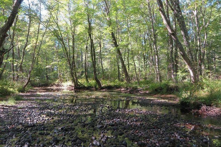
The West Branch begins at the outlet of Silver Lake in the southern corner of Madison, New Hampshire and takes a winding course south towards Ossipee Lake. It forms the boundary between the towns of Freedom and Ossipee. The flat, sandy terrain through which the river flows is known as the West Branch Pine Barrens and is the site of a nature preserve owned and managed by The Nature Conservancy.
References
West Branch (New Hampshire) Wikipedia(Text) CC BY-SA