
Max. length 3.6 mi (5.8 km) Surface area 570 acres (2.3 km) Area 231 ha Surface elevation 178 m | Basin countries United States Max. width 0.6 mi (0.97 km) Average depth 10 ft (3.0 m) Length 5.8 km Mean depth 3 m | |
 | ||
Similar Lovell Lake, Ossipee Lake, Dan Hole Pond, Silver Lake, Conway Lake | ||
Pine river pond snowmobiling 1 19 13
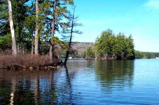
Pine River Pond is a 570-acre (2.3 km2) lake located in Carroll County in eastern New Hampshire, United States, in the town of Wakefield. Its outlet is the Pine River, which flows northwest to Ossipee Lake.
Contents
Map of Pine River Pond, Wakefield, NH, USA
The lake is classified as a warmwater fishery, with observed species including smallmouth and largemouth bass, chain pickerel, horned pout, and black crappie.
References
Pine River Pond Wikipedia(Text) CC BY-SA