
Intercommunality MEL Area 5.09 km² | Canton Lambersart Population (2014) 5,278 Local time Monday 8:03 AM | |
 | ||
Weather 10°C, Wind NW at 13 km/h, 86% Humidity | ||
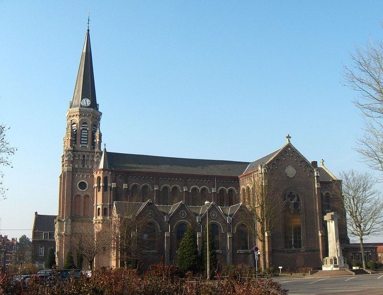
Wervicq-Sud (Dutch: Zuid-Wervik) is a commune in the Nord department in northern France. Wervicq-Sud is one of the oldest villages.
Contents
Map of Wervicq-Sud, France
The town is separated from its Belgian sister town of Wervik by the Lys River.
Bounding communes
History
The name appears in the form Viroviacum in the Antonine Itinerary and the Peutinger map in the 3rd century, so the settlement is old. It was here that the Roman road from Tournai to Cassel crossed the Lys (a tributary of the Scheldt). It had a fortified post, of which traces are still visible. It was mentioned by Sanderus in his "Flandria illustrata" in the sixteenth century.
For centuries, it belonged to the Counts of Flanders, and thence to the French kings. In 1527 by the Treaty of Madrid it passed under the suzerainty of the Spanish empire.
Wervicq-Sud during the sixteenth century was the main centre of tobacco production in Europe. It was dependent on Spain until Louis XIV's conquest in 1667. A part of the main agglomeration situated on the left side of the river was a Belgian province and on the left side of the river, reattached to the French province of Flanders, it later become a part of the Nord department under the name Wervicq-Sud in 1790.
There was a small uprising here after the Belgian Revolution. Locals, together with those of Bousbecque and a small number from Comines, demanded reunification with their Belgian counterparts on the other side of the Lys. This ended after an intervention of the Gendarmes.
During World War I the town was occupied by the Germans. In World War II it was integrated into the Military Administration in Belgium and Northern France and reunited with its Belgian counterpart Wervik.
Population
Economy
Numerous associations located on a local way. Its main activity varies predominantly on textiles.