
OS grid reference SS515940 Country Wales Post town Swansea Local time Monday 6:43 AM Dialling code 01792 Welsh assembly Gower | Principal area Swansea Sovereign state United Kingdom Postcode district SA4 Community Llanrhidian Higher Ceremonial county West Glamorgan | |
 | ||
Weather 7°C, Wind NW at 14 km/h, 78% Humidity | ||
For sale oakleigh wernffrwd nr llanmorlais north gower sa4 3ty 340 000
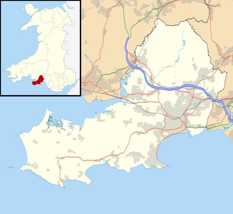
Wernffrwd (Gwernffrwd) is a village in the south of Wales. It is located approximately 8.5 miles (13.7 km) from Swansea, and is within the Community of Llanrhidian Higher.
Contents
Map of Wernffrwd, UK
The village is situated in the north of the Gower Peninsula, overlooking the Loughor Estuary and consists of lower and upper Wernffrwd. The majority of the houses can be found in the lower part of the village, as does the church of Saint David's which can be found on the marsh road which skirts the village.
References
Wernffrwd Wikipedia(Text) CC BY-SA