
Country United States County Geauga GNIS feature ID 1061727 Local time Sunday 10:53 PM | State Ohio Time zone Eastern (EST) (UTC-5) Elevation 376 m | |
 | ||
Weather 16°C, Wind S at 5 km/h, 32% Humidity | ||
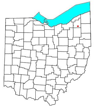
Welshfield (also Troy, Troy Center, Troy Centre, or Wellsfield) is an unincorporated community in central Troy Township, Geauga County, Ohio, United States. It lies at the intersection of U.S. Route 422 and State Route 700, 1 mi (1½ km) east of the Cuyahoga River and 3 mi (5 km) east of the LaDue Reservoir. Its elevation is 1,234 feet (376 m). The community once had a post office that was established on 23 February 1838. When it was discontinued on 30 December 1958, the Burton office began to handle mail for Welshfield addresses. Welshfield was named for Jacob Welsh, a pioneer settler. Jacob Welsh helped build a local church and school in exchange for the naming rights.
Map of Welshfield, OH 44021, USA
References
Welshfield, Ohio Wikipedia(Text) CC BY-SA