
Country United States ZIP codes 40387 Elevation 364 m | Time zone Eastern (EST) (UTC-5) GNIS feature ID 516267 Local time Sunday 9:38 PM | |
 | ||
Weather 19°C, Wind S at 13 km/h, 23% Humidity | ||
Wellington is an unincorporated community in Menifee County, Kentucky, United States. It lies along U.S. Route 460 and Kentucky Route 1693 southeast of the city of Frenchburg, the county seat of Menifee County. Its elevation is 1,194 feet (364 m). Although it is unincorporated, it has a post office, with the ZIP code of 40387.
Contents
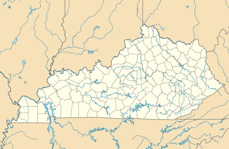
Map of Wellington, KY, USA
Wellington is part of the Mount Sterling Micropolitan Statistical Area.
2012 tornado
On March 2, 2012, a tornado struck Wellington and the nearby city of West Liberty.
References
Wellington, Menifee County, Kentucky Wikipedia(Text) CC BY-SA