
Postcode(s) 5007 Postal code 5007 | Local time Monday 10:11 AM | |
 | ||
Weather 16°C, Wind S at 16 km/h, 51% Humidity | ||
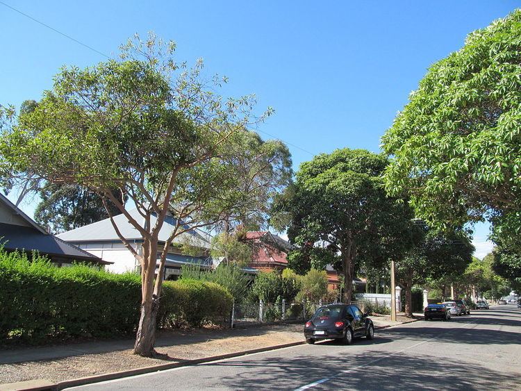
Welland is an inner suburb of Adelaide in the City of Charles Sturt local government area. It is around 5km west northwest of the city centre. It was named for Welland, Worcestershire in 1907.
Contents
Map of Welland SA 5007, Australia
History
Welland Post Office opened on 3 October 1921. For much of the twentieth century, Welland and surrounding suburbs were known for the brickmaking industry located near the Torrens River, memorialised today by the a large remnant kiln chimney at the Brickworks Marketplace (formerly Brickworks markets) in the extreme north east of Torrensville. In 1923 severe flooding of the Welland brick fields by the Torrens River forced some of the industry to move further west and downstream into Beverley and Allenby Gardens.
References
Welland, South Australia Wikipedia(Text) CC BY-SA