
Postcode(s) 2640 Postal code 2640 | Elevation 516 m Local time Tuesday 5:34 PM | |
 | ||
Weather 26°C, Wind NW at 13 km/h, 33% Humidity | ||
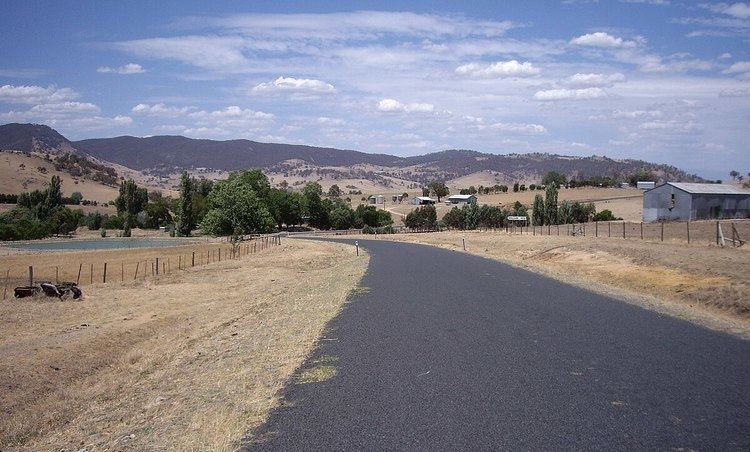
Ournie is a rural community in the far south east part of the Riverina and situated about 15 kilometres north west from Welaregang and 20 kilometres south from Munderoo. Ournie is situated on the banks of the Ournie Creek which flows into the Murray River and the area is only about 4 kilometres from the border of Victoria.
Map of Ournie NSW 2640, Australia
Ournie Post Office opened on 1 July 1872, closed in 1875, reopened in 1904 and closed again in 1968.
References
Ournie, New South Wales Wikipedia(Text) CC BY-SA