
Basin countries Germany Max. width 0.24 km (0.15 mi) Surface elevation 753 m Mean depth 3.5 m Width 240 m | Primary inflows Max. length 2.67 km (1.66 mi) Surface area 63.60 ha (157.2 acres) Area 64 ha Length 2.67 km | |
 | ||
Similar Alps, Hörndlwand, Dürrnbachhorn, Chiemgau Alps, Unternberg | ||
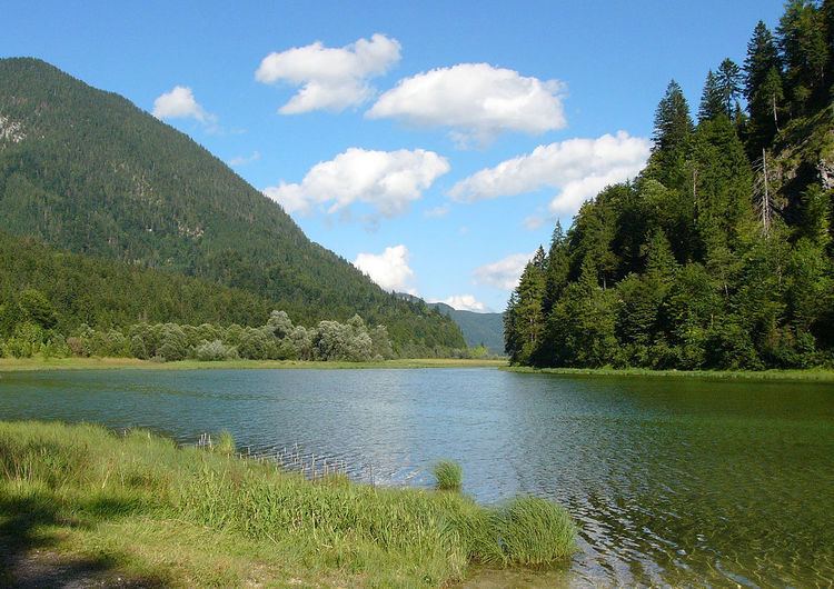
Weitsee is a small lake on between Reit im Winkl and Ruhpolding with an area of 63.60 ha and a maximum depth of 9.30 m. The lake itself is separated in a shallow western and a deeper eastern part by a mountain halfisland. It is the first lake in the Dreiseengebiet (Three Lake Area) followed by the Mittersee and Lödensee. The lakes are located in the valley between the Gurnwandkopf und Dürrnbachhorn next to the Deutsche Alpenstraße B305 (German Alpine Street). Only a few small tributary bring water to the lake most of the water comes from a 5 m deep spring which is located at the nearrowest part of the lake. All the watter from the outflow of the lake ends in seepage at the end of the Lödensee after it has gone through Mittersee. Geological research showed that the water find its way under the Hochgern mountain to the bog near Bergen, Upper Bavaria.
Map of Weitsee, 83242 Reit, Germany
The lake with its beach, the clean water and the distance to the next village attracts many people in summer. The beach has also a nudist part which is located farest from the street. In the winter the cross-country ski run between Reit im Winkl and Ruhpolding crosses the lake.