
Elevation 548 m (1,798 ft) Parent range Eifel | Prominence 130 metres (430 ft) Mountain range Eifel | |
 | ||
Pronunciation German: [ˈvaɪsɐ ˈʃtaɪn] Similar Kneiff, Schwarzer Mann, Signal de Botrange, Buurgplaatz, Salzburger Kopf | ||
Skispringen udenbreth wei er stein
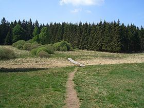
Weißer Stein is the name of a 548-metre (1,798 ft) high hill in the Odenwald, north of Heidelberg and east of Dossenheim.
Contents
- Skispringen udenbreth wei er stein
- Map of WeiC39Fer Stein City 53940 Hellenthal Germany
- Downhill wei er stein gopro
- References
Map of Wei%C3%9Fer Stein City, 53940 Hellenthal, Germany
On Weißer Stein is a 20 m tall lookout tower. It was built in 1906 by the members of the Odenwald club. In good weather other high mountains of the Odenwald can be seen, such as Melibokus, Katzenbuckel, Tromm and Neunkircher Höhe. Near the tower is the Höhengaststätte Weißer Stein tavern with a beer garden.
Nearby is the 108 m (354 ft) tall broadcast tower of the Deutsche Telekom AG (German telephone company) and an additional antenna mast. The broadcast tower is a Type 11.
Coordinates:
Downhill wei er stein gopro
References
Weißer Stein Wikipedia(Text) CC BY-SA