
Country United States GNIS feature ID 509331 | Time zone Central (CST) (UTC-6) Elevation 318 m | |
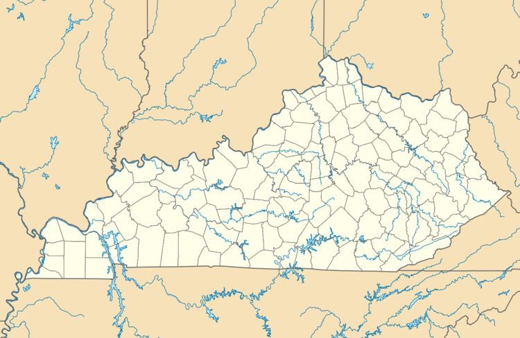 | ||
Weed is an unincorporated community in Adair County, Kentucky, United States. Its elevation is 1043 feet (318 m).
Map of Weed, KY 42728, USA
The origin of the name "Weed" is obscure.
References
Weed, Kentucky Wikipedia(Text) CC BY-SA