
Traversed by trail Elevation 3,689 m | Topo map USGS Montezuma | |
 | ||
Similar Argentine Pass, Rocky Mountains, Mosquito Pass, Kenosha Pass, Boreas Pass | ||
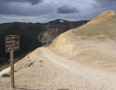
Webster Pass, elevation 12,103 ft (3,689 m), is a mountain pass that crosses the Continental Divide in the Front Range of the Rocky Mountains of Colorado in the United States. Originally known as Handcart Pass, the name changed in the 1870s after the Webster brothers constructed a toll road.
Map of Webster Pass, Colorado 80435, USA
References
Webster Pass (Colorado) Wikipedia(Text) CC BY-SA