
Founded November 1, 1861 Congressional districts 2nd, 5th Website www.parkco.us Population 16,121 (2013) Unemployment rate 3.9% (Apr 2015) | Area 5,726 km² Largest city Bailey | |
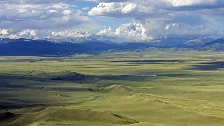 | ||
Points of interest South Park, South Park City, Staunton State Park, Hoosier Pass, Kenosha Pass Destinations | ||
Park County is one of the 64 counties in the U.S. state of Colorado. As of the 2010 census, the population was 16,206. The county seat is Fairplay. The county was named after the large geographic region known as South Park, which was named by early fur traders and trappers in the area.
Contents
- Map of Park County CO USA
- Geography
- Adjacent counties
- National protected areas
- State protected areas
- Trails and byways
- Demographics
- Towns
- Census designated place
- Ghost towns
- In popular culture
- Notable people
- References
Map of Park County, CO, USA
Park County is included in the Denver-Aurora-Lakewood, CO Metropolitan Statistical Area. A majority of the county lies within the boundaries of the South Park National Heritage Area.
The geographic center of the State of Colorado is located in Park County.
Park County has been and is the location of several important mines, including the defunct Orphan Boy, which was discovered near Alma in 1861 and produced gold, silver, lead, and zinc. The historic Sweet Home Mine, also near Alma, is a former silver mine now known for its rhodochrosite mineral specimens.
Geography
According to the U.S. Census Bureau, the county has a total area of 2,211 square miles (5,730 km2), of which 2,194 square miles (5,680 km2) is land and 17 square miles (44 km2) (0.8%) is water.
The headwaters of the South Platte River are in Park County.
Adjacent counties
National protected areas
State protected areas
Trails and byways
Demographics
As of the census of 2000, there were 14,523 people, 5,894 households, and 4,220 families residing in the county. The population density was 7 people per square mile (3/km²). There were 10,697 housing units at an average density of 5 per square mile (2/km²). The racial makeup of the county was 95.07% White, 0.50% Black or African American, 0.92% Native American, 0.41% Asian, 0.03% Pacific Islander, 1.23% from other races, and 1.84% from two or more races. 4.32% of the population were Hispanic or Latino of any race.
There were 5,894 households out of which 30.20% had children under the age of 18 living with them, 64.10% were married couples living together, 4.40% had a female householder with no husband present, and 28.40% were non-families. 21.10% of all households were made up of individuals and 3.20% had someone living alone who was 65 years of age or older. The average household size was 2.45 and the average family size was 2.86.
In the county, the population was spread out with 23.50% under the age of 18, 5.10% from 18 to 24, 33.40% from 25 to 44, 30.60% from 45 to 64, and 7.30% who were 65 years of age or older. The median age was 40 years. For every 100 females there were 107.10 males. For every 100 females age 18 and over, there were 107.60 males.
The median income for a household in the county was $51,899, and the median income for a family was $57,025. Males had a median income of $41,480 versus $27,807 for females. The per capita income for the county was $25,019. About 3.40% of families and 5.60% of the population were below the poverty line, including 5.60% of those under age 18 and 5.70% of those age 65 or over.
Towns
Census-designated place
Ghost towns
In popular culture
In the animated television series South Park, the fictional town of the same name is situated in Park County, Colorado. The police in South Park were a one-man South Park Police force at first, but it has since been phased out in favor of the Park County police.
In 1955, part of the film The Looters, co-starring Rory Calhoun, subsequently of the CBS western television series, The Texan, and the actress Julie Adams, was filmed in Park County. The Looters is the story of a plane crash in the Rocky Mountains. The filming was undertaken about Tarryall Creek. The advertising poster reads: "Five desperate men ... and a girl who didn't care ... trapped on a mountain of gale-lashed rock!"