
Country United States Time zone Eastern (EST) (UTC-5) Elevation 220 m Population 413 (2013) | Incorporated 1923 Area code(s) 606 Zip code 41666 Local time Sunday 11:41 AM | |
 | ||
Weather 21°C, Wind S at 10 km/h, 21% Humidity | ||
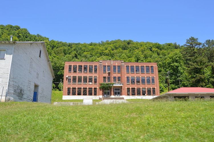
Wayland is a home rule-class city in Floyd County, Kentucky, United States. The population was 426 at the 2010 census, up from 298 at the 2000 census.
Contents
Map of Wayland, KY 41666, USA
History
In 1913, the Elk Horn Coal Company established the town of Wayland, which they named after Clarence Wayland Watson, the president of the company. The next year on May 18, the town post office was established. Wayland was incorporated as a sixth-class city in 1923.
Geography
Wayland is located in southwestern Floyd County at 37°26′43″N 82°48′4″W (37.445289, -82.801131), in the valleys of the Right Fork Beaver Creek and its tributary, Steele Creek. Kentucky Route 7 passes through the city, leading north (downstream along the Right Fork) 3.5 miles (5.6 km) to Garrett and south (upstream) 9 miles (14 km) to Topmost.
According to the United States Census Bureau, the city has a total area of 2.6 square miles (6.8 km2), all land.
Education
The city's public schools are operated by the Floyd County Schools system. Most students residing in Wayland attend:
Demographics
As of the census of 2000, there were 298 people, 118 households, and 86 families residing in the city. The population density was 430.6 people per square mile (166.8/km²). There were 133 housing units at an average density of 192.2 per square mile (74.4/km²). The racial makeup of the city was 99.66% White, and 0.34% from two or more races.
There were 118 households out of which 32.2% had children under the age of 18 living with them, 55.9% were married couples living together, 15.3% had a female householder with no husband present, and 27.1% were non-families. 25.4% of all households were made up of individuals and 13.6% had someone living alone who was 65 years of age or older. The average household size was 2.53 and the average family size was 3.07.
In the city, the population was spread out with 26.5% under the age of 18, 10.1% from 18 to 24, 25.2% from 25 to 44, 23.8% from 45 to 64, and 14.4% who were 65 years of age or older. The median age was 35 years. For every 100 females there were 88.6 males. For every 100 females age 18 and over, there were 79.5 males.
The median income for a household in the city was $14,688, and the median income for a family was $20,938. Males had a median income of $24,625 versus $25,625 for females. The per capita income for the city was $7,886. About 30.4% of families and 38.4% of the population were below the poverty line, including 59.6% of those under the age of eighteen and 36.7% of those sixty five or over.