
Country United States FIPS code 36-78729 Elevation 390 m Population 1,881 (2010) Area code 315 | State New York Time zone Eastern (EST) (UTC-5) GNIS feature ID 979607 Zip code 13367 Local time Sunday 8:27 AM | |
 | ||
Weather 1°C, Wind S at 8 km/h, 76% Humidity Area 299.9 km² (291.9 km² Land / 7.77 km² Water) | ||
Watson is a town in Lewis County, New York, United States. The population was 1,881 at the 2010 census. The town is named after early landowner James Watson.
Contents
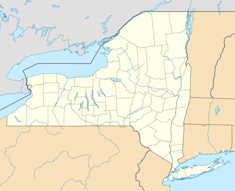
Map of Watson, NY 13367, USA
The Town of Watson is at the east border of the county and is east of Lowville, the county seat.
History
The town was first settled around 1815.
The town was formed from the Town of Leyden in 1821. Parts of Watson were later taken to form the Towns of Greig (1828), Diana (1830), Croghan (1841), and New Bremen (1848).
Geography
According to the United States Census Bureau, the town has a total area of 115.8 square miles (300 km2), of which 112.7 square miles (292 km2) is land and 3.0 square miles (7.8 km2) (2.61%) is water.
The east town line is the border of Herkimer County, and the west town line is partly defined by the Black River.
The Beaver River flows through the north part of the town. The east part of Watson is inside the Adirondack Park.
Demographics
As of the census of 2000, there were 1,987 people, 772 households, and 562 families residing in the town. The population density was 17.6 people per square mile (6.8/km²). There were 1,652 housing units at an average density of 14.7 per square mile (5.7/km²). The racial makeup of the town was 98.49% White, 0.40% African American, 0.20% Native American, 0.10% Asian, 0.40% Pacific Islander, and 0.40% from two or more races. Hispanic or Latino of any race were 0.50% of the population.
There were 772 households out of which 33.9% had children under the age of 18 living with them, 60.4% were married couples living together, 6.3% had a female householder with no husband present, and 27.2% were non-families. 21.4% of all households were made up of individuals and 8.9% had someone living alone who was 65 years of age or older. The average household size was 2.57 and the average family size was 2.96.
In the town, the population was spread out with 25.6% under the age of 18, 7.2% from 18 to 24, 29.7% from 25 to 44, 23.2% from 45 to 64, and 14.2% who were 65 years of age or older. The median age was 38 years. For every 100 females there were 106.3 males. For every 100 females age 18 and over, there were 108.9 males.
The median income for a household in the town was $35,000, and the median income for a family was $38,438. Males had a median income of $28,208 versus $20,913 for females. The per capita income for the town was $15,708. About 8.0% of families and 11.3% of the population were below the poverty line, including 13.5% of those under age 18 and 14.2% of those age 65 or over.