
Population 2,455 (2011 Census) Civil parish Watlington Area 6.93 km² | OS grid reference TF619111 Sovereign state United Kingdom Local time Sunday 1:02 PM | |
 | ||
Weather 23°C, Wind S at 27 km/h, 46% Humidity District | ||
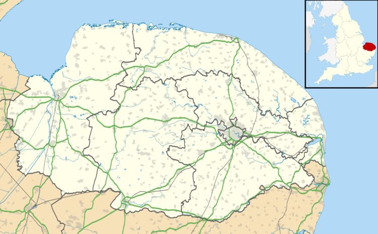
Watlington is a civil parish and electoral ward in the English county of Norfolk. It covers an area of 6.93 km2 (2.68 sq mi) and had a population of 2,031 in 852 households at the 2001 census, the population increasing to 2,455 at the 2011 Census. For the purposes of local government, it falls within the district of King's Lynn and West Norfolk.
Map of Watlington, UK
It is situated some 2 km (1.2 mi) from the east bank of the River Great Ouse, 12 km (7.5 mi) south of the town of King's Lynn and 60 km (37 mi) west of the city of Norwich.
The village is served by Watlington railway station (on the Fen Line between Cambridge and King's Lynn) which is situated 1 km (0.62 mi) from the centre of the village.
The village should not be confused with the town of Watlington in Oxfordshire.