
 | ||
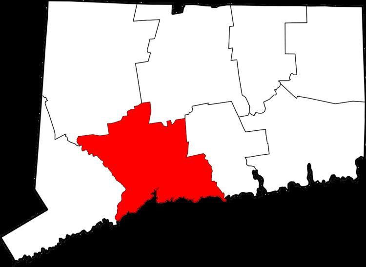
Waterville is a neighborhood of the city of Waterbury, Connecticut. It was formerly known as Pine Hole and Haydensville. It was home to many industrial and manufacturing facilities from the 1960s onward. The ethnic makeup of Waterville consists of Italian, Irish, French and Latin American. This section of Waterbury contains 2 parks and the main office of the city's Department of Transportation.
Contents
Map of Waterville, Waterbury, CT 06704, USA
Population
Waterville makes up 25,220 of Waterbury's 110,189 population. Of that number, 11,445 are male and 13,765 are female. Waterville has 9,528 households with an average household income of $45,983.
Waterville is 290 feet (88 m) above sea level and lies in the Eastern Time Zone (EST/EDT), observing daylight saving time. In addition, Waterville is located two miles (3.2 km) to the north of downtown Waterbury, three miles (4.8 km) to the east southeast of Watertown, four miles (6.4 km) to the west of Wolcott, five miles (8 km) to the northeast of Middlebury, five miles (8 km) to the south southwest of Plymouth, five miles (8 km) to the south southeast of Thomaston, and 22 miles (35 km) to the west southwest of Hartford.