
Country United States NECTA Waterbury Time zone Eastern (UTC-5) Zip code 06716 Local time Tuesday 9:07 PM | State Connecticut Incorporated 1796 Elevation 260 m Population 16,680 (2010) | |
 | ||
Region Central Naugatuck Valley Weather 4°C, Wind NE at 14 km/h, 88% Humidity | ||
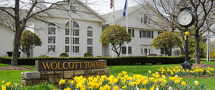
Wolcott ( /ˈwʊlkət/) is a town in New Haven County, Connecticut, United States. It is primarily residential with a population of 16,680 at the 2010 census. Known as Farmingbury when it was settled in the 1730s by the Connecticut Colony, the town was renamed Wolcott after being incorporated in 1796.
Contents
- Map of Wolcott CT USA
- History
- Geography
- Land use
- Demographics
- Notable people
- Wolcott public schools
- References
Map of Wolcott, CT, USA
History
As the end of the 17th-century grew near, the early towns of Waterbury and Farmington had come to occupy a great deal of west-central Connecticut in the Naugatuck River Valley and Farmington River Valley, respectively. At that time, the borderlands between these two towns were known as Farmingbury, a term derived by simply combining parts of the two town names.
Although individuals were living within the Farmingbury territory as early as the 1730s, they possessed no official identity apart from the parent towns of either Waterbury or Farmington. By 1770, the residents of Farmingbury successfully petitioned the Connecticut General Assembly to create the First Ecclesiastical Society of Farmingbury. Having established an independent parish, Farmingbury gained a good deal of religious, legal and financial independence from Waterbury and Farmington.
However, the political boundaries of the region remained unchanged for more than two decades afterwards. During that time the Farmingbury parish was largely self-sufficient, owing to its fairly remote location, but still officially considered to be part and parcel to Waterbury in the west and Farmington in the east. Thus, the parish society found itself handling several matters that would ordinarily have been municipal duties, such as managing taxes and local education.
Farmingbury petitioned the Connecticut General Assembly in 1796, requesting that it be incorporated as an independent town distinct from Waterbury and Farmington. Assembly votes tallied up to a tie, half in favor and half against the proposal. The tie-breaking vote in favor of Farmingbury was cast by Lieutenant Governor Oliver Wolcott and the lands of Farmingbury previously owned by Waterbury and Farmington were officially ceded to the new town. In honor of the Lieutenant Governor's deciding vote, the residents of Farmingbury renamed their newly incorporated town "Wolcott". The 1800 United States Census was the first census conducted after Wolcott's incorporation and counted 948 individuals living within the town.
Geography
According to the United States Census Bureau, the town has a total area of 21.1 square miles (55 km2), of which 20.4 square miles (53 km2) is land and 0.7 square miles (1.8 km2), or 3.22%, is water.
Although there aren't any natural lakes of significant size in Wolcott, there are several man-made reservoirs created from the damming of small rivers and brooks. Scovill Reservoir, also known as Woodtick Reservoir, covers 121 acres (49 ha) and was built by damming the Mad River in central Wolcott. Although it was originally constructed in 1917 to supply water for a brass manufacturer, it is now a town-owned recreational lake. Other reservoirs that are at least partially contained within Wolcott include Chestnut Hill Reservoir, Hitchcock Lake, Southington Reservoir #2, New Britain Reservoir (which extends east into neighboring Southington, Connecticut) and Cedar Lake and Dunham Mill Pond (both of which extend north into neighboring Bristol, Connecticut).
The highest point in New Haven County is found in Wolcott atop Lindsley Hill, which has an elevation of approximately 1,046 feet above sea level.
Land use
Wolcott is primarily a residential, suburban town with a population density of 816 people per square mile, though approximately 56% of the town's land remains undeveloped. Residential developments occupy roughly 33% of the town and encompass 6,148 housing units (of which 89.5% are single family homes). Cumulatively, about 11% of the town is currently used for agriculture, commerce/industry, recreation and municipal facilities.
Demographics
As of the census of 2000, there were 15,215 people, 5,414 households, and 4,249 families residing in the town. The population density was 744.7 people per square mile (287.5/km²). There were 5,544 housing units at an average density of 271.4 per square mile (104.8/km²). The racial makeup of the town was 96.23% White, 1.24% Black, 0.14% Native American, 0.75% Asian, 0.04% Pacific Islander, 0.59% from other races, and 1.01% from two or more races. Hispanic or Latino of any race were 1.79% of the population.
There were 5,414 households out of which 37.3% had children under the age of 18 living with them, 66.0% were married couples living together, 8.7% had a female householder with no husband present, and 21.5% were non-families. 18.0% of all households were made up of individuals and 8.6% had someone living alone who was 65 years of age or older. The average household size was 2.79 and the average family size was 3.17.
In the town, the population was spread out with 26.0% under the age of 18, 5.6% from 18 to 24, 31.3% from 25 to 44, 24.0% from 45 to 64, and 13.1% who were 65 years of age or older. The median age was 38 years. For every 100 females there were 95.0 males. For every 100 females age 18 and over, there were 92.5 males.
The median income for a household in the town was $61,376, and the median income for a family was $67,582. Males had a median income of $45,682 versus $31,964 for females. The per capita income for the town was $25,018. About 1.0% of families and 2.6% of the population were below the poverty line, including 2.6% of those under age 18 and 5.0% of those age 65 or over.
Notable people
Wolcott public schools
There are five public schools within the Wolcott Public Schools system:
High schools (Grades 9-12)
All of the elementary schools offer a latchkey program, though the latchkey program is traditionally run at Wakelee Elementary School.