
Population 199 (2006 census) Elevation 19 m (62 ft) Local time Sunday 6:44 PM | Postcode(s) 6228 Postal code 6228 | |
 | ||
Weather 18°C, Wind S at 8 km/h, 58% Humidity | ||
Waterloo is a small town in the South West region of Western Australia, located on the South Western Highway between Bunbury and Brunswick Junction.
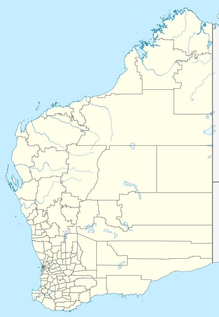
Map of Waterloo WA 6228, Australia
The population of the town was 41 (23 males and 18 females) in 1898.
In December 2013 the Western Australian Planning Commission's (WAPC's) Greater Bunbury Strategy identified an urban expansion area in the north of Waterloo. In April 2016 the WAPC released a draft Wanju District Structure Plan for the 1,245 ha (4.81 sq mi) urban expansion area, showing the broad layout of the urban expansion area and a conceptual fly-through video. "Wanju" means 'welcome' in the Noongar language. The Wanju District Structure Plan will provide an estimated 20,000 dwellings and 4,000 jobs.
References
Waterloo, Western Australia Wikipedia(Text) CC BY-SA