Trail difficulty Easy Designation National Trails | Season All year Length 8 mi (13 km) | |
 | ||
Location Southern England, United Kingdom Hazards Section of road along Ladywell Road | ||
Waterlink way national cycle path 21 and walk south london vid pt1
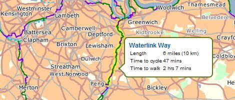
Waterlink Way is a long distance cyclepath and walking route in South East London. It extends from South Norwood Country Park (near Elmers End station) to the Cutty Sark ship in Greenwich, a total of eight miles.
Contents
- Waterlink way national cycle path 21 and walk south london vid pt1
- Waterlink way south norwood country park
- References
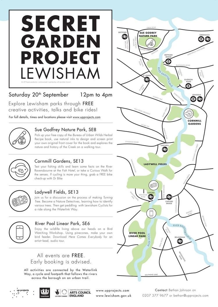
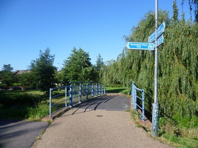
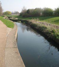
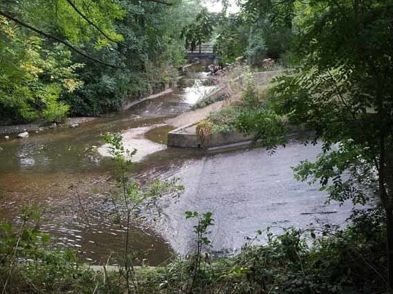
The Waterlink Way is an established part of the National Cycle Network (Route 21 between London and Hastings). It connects a number of parks and green spaces in South East London – including Ladywell Fields and Brookmill Park – while following the Pool and Ravensbourne rivers. The route was designed to be accessible, with a large number of railway stations including Kent House, Lower Sydenham, Ladywell, Lewisham and Greenwich en route.
In Cator Park, Beckenham the cyclepath links with the Capital Ring and Green Chain Walk long distance footpaths.
Waterlink way south norwood country park