
Length 35 km | ||
 | ||
Similar Pentland Hills, Dean Village, Dean Bridge, Arthur's Seat, Union Canal | ||
Water of leith edinburgh
The Water of Leith is the main river flowing through Edinburgh, Scotland, to the port of Leith where it flows into the sea via the Firth of Forth.
Contents
- Water of leith edinburgh
- Map of Water of Leith United Kingdom
- Scotland walks near edinburgh dean village and the water of leith walkway
- References
Map of Water of Leith, United Kingdom
It is 35 km (22 mi) long and rises in the Colzium Springs at Millstone Rig of the Pentland Hills. It travels through Harperrig Reservoir, past the ruins of Cairns Castle, through Balerno, Currie, Juniper Green, Colinton, Slateford, Longstone, Saughton, Balgreen, Roseburn and on to the nearest it gets to the Edinburgh city centre at the Dean Village, on the site of old watermills in a deep gorge. This ravine is dramatically spanned by the Dean Bridge, designed by Thomas Telford, which was built in 1832 for the road to Queensferry, and lies next to the New Town.
The river flows on past Stockbridge, Inverleith, Canonmills and Warriston where it passes through shallows at a place known as Puddocky which is commonly thought to refer to "puddocks", the Scots language term for frogs, but actually took its name from the former Paddock Hall which was sited nearby. The river continues past Bonnington, the site of another watermill, to Leith where it widens into the old harbour and port at the Shore. Leith Docks have been extended considerably out into the firth from the old shoreline, and there are now plans to discontinue their use as a port and use the area for housing redevelopment.
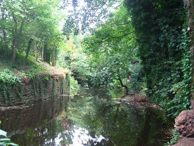
There is a Water of Leith Walkway beside the river for the 12.25 miles (19.71 km) from Balerno to Leith, with approximately half a mile of the route on roads. The route forms an attractive haven for wildlife, passing through areas of woodland, often well separated from roads. For some distance the walkway follows the route of former railway tracks, and the remains of tunnels, bridges and other features of more than one railway may be seen at many places along the route.
A visitor centre is open to the public where the Union Canal passes over the Water of Leith via the Slateford Aqueduct at Slateford, in south-west Edinburgh. The Water of Leith Conservation Trust is dedicated to the conservation and enhancement of the river. The Trust provides education programs about the river and the environment.
The river is stocked with brown trout, and also contains wild grayling, eels, stone loach, minnow, three-spined Stickleback and flounder. A few sea-trout run the river, and occasional Atlantic salmon are reported, although those from which scale samples have been obtained have turned out to be from other catchments. Until the weirs are either demolished or furnished with effective fish-passes, there is little chance of a population of salmon establishing themselves in this river again. Roe deer, badgers, otters and other mammals are occasionally seen. The river and its environs are the haunt of a wide variety of woodland and water birds, including kingfishers, herons, wagtails, woodpeckers and dippers.
The name more than likely derives from the Cumbric or Pictish words equivalent to the Modern Welsh llifo the verb meaning 'to flow' or the adjective llaith meaning 'damp' or 'wet' (compare Leeds). The association of the name with the Scottish Gaelic lìte, seems to be unfounded and likely false. It is less likely that the name derives from the Old Norse lodda meaning a river. The association of the Water of Leith with the Old Norse origin is rare and the Cumbric or Pictish theory is preferred.