
GNIS feature ID 0454011 Area 123.2 km² Population 6,164 (2010) | ZIP codes 47431, 47433, 47460 Elevation 192 m Local time Saturday 11:38 PM | |
 | ||
Weather 13°C, Wind SE at 11 km/h, 44% Humidity | ||
Washington Township is one of thirteen townships in Owen County, Indiana, United States. As of the 2010 census, its population was 6,164 and it contained 2,755 housing units.
Contents
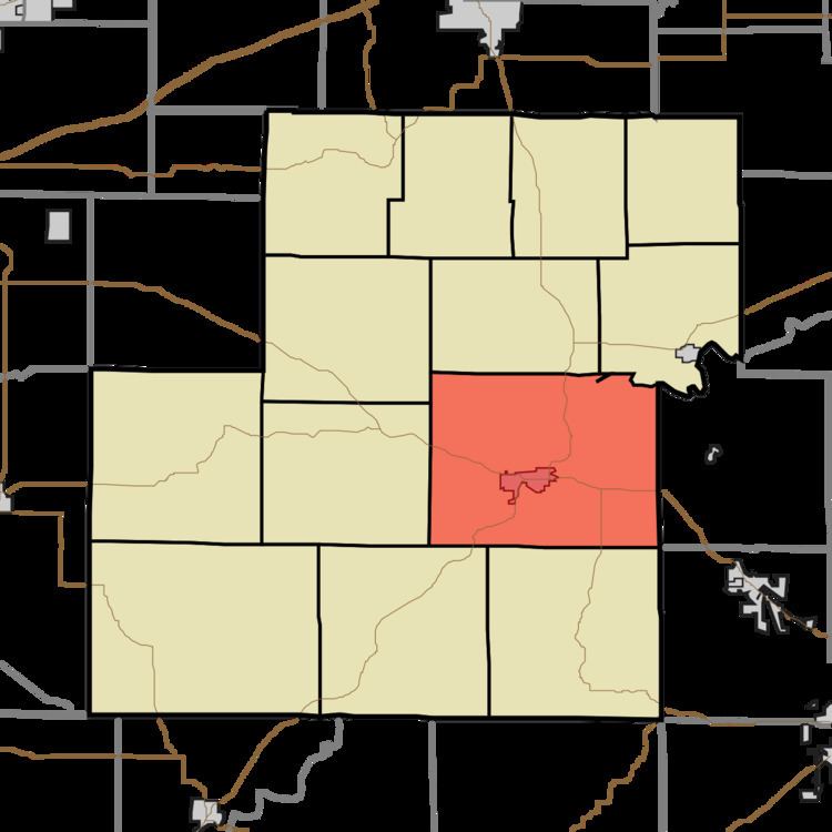
- Map of Washington Township IN USA
- History
- Geography
- Cities towns villages
- Unincorporated towns
- Cemeteries
- Major highways
- Airports and landing strips
- School districts
- Political districts
- References
Map of Washington Township, IN, USA
History
Washington Township was organized in 1819. It was named for George Washington.
The CCC Recreation Building-Nature Museum, McCormick's Creek State Park Entrance and Gatehouse, Secrest-Wampler House, and Stone Arch Bridge over McCormick's Creek are listed on the National Register of Historic Places.
Geography
According to the 2010 census, the township has a total area of 47.57 square miles (123.2 km2), of which 47.4 square miles (123 km2) (or 99.64%) is land and 0.17 square miles (0.44 km2) (or 0.36%) is water. The White River defines the northeastern border of the township.
Cities, towns, villages
Unincorporated towns
(This list is based on USGS data and may include former settlements.)
Cemeteries
The township contains these seven cemeteries: Blair, Chambersville, Mount Moriah, River Hill, Riverside, Rose and Witham.