
Country United States GNIS feature ID 0454006 Area 73.5 km² Population 3,493 (2010) | ZIP codes 46914, 46970 Elevation 241 m Local time Saturday 11:36 PM | |
 | ||
Weather 11°C, Wind S at 14 km/h, 56% Humidity | ||
Washington Township is one of fourteen townships in Miami County, Indiana, United States. As of the 2010 census, its population was 3,493 and it contained 1,630 housing units.
Contents
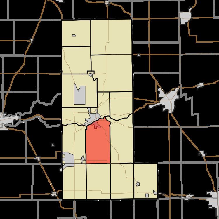
- Map of Washington Township IN USA
- History
- Geography
- Cities towns villages
- Unincorporated towns
- Cemeteries
- Major highways
- Airports and landing strips
- School districts
- Political districts
- References
Map of Washington Township, IN, USA
History
The first settler, Thomas Henton, arrived in Washington Township in 1838 and built a cabin upon a hill.
Washington Township was organized in 1843. It was named for President George Washington.
Geography
According to the 2010 census, the township has a total area of 28.38 square miles (73.5 km2), of which 28.12 square miles (72.8 km2) (or 99.08%) is land and 0.26 square miles (0.67 km2) (or 0.92%) is water. The Wabash River defines the township's northern border.
Cities, towns, villages
Unincorporated towns
(This list is based on USGS data and may include former settlements.)
Cemeteries
The township contains these four cemeteries: Crider, Rankin, Salem and Sharpee.