
Existed: 1964 – present Constructed 1964 | Length 38.06 km | |
 | ||
State Route 125 (SR 125) is a state highway in the U.S. state of Washington. It extends 23.65 miles (38.06 km) from OR 11 south of Walla Walla, north to State Route 124 west of Prescott. SR 125 passes U.S. Route 12 and Walla Walla. The route serves as a connector from US 12 to SR 124, Prescott, and Pendleton, Oregon (via OR 11).
Contents
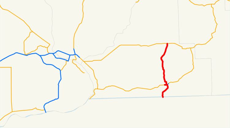
- Map of WA 125 Walla Walla WA USA
- Route description
- State Route 125 Spur
- History
- Major intersections
- References
Map of WA-125, Walla Walla, WA, USA
SR 125 was established in 1964 after the 1964 highway renumbering, along its current route. Before SR 125 was established, the route from Oregon to Walla Walla was the Walla Walla branch of Primary State Highway 3 and the route from Walla Walla to Prescott was Secondary State Highway 3E. Even though SR 125 was established in 1964, no signs went up until the law that made SR 125 was approved by the Washington State Legislature in 1970. SR 125 also has a spur route that connects the highway with U.S. Route 12 eastbound towards Clarkston. The spur route is located entirely in Walla Walla.
Route description
State Route 125 runs approximately 23.65 miles (38.06 km) from OR 11 south of Walla Walla, north to State Route 124 west of Prescott. The route links the communities of Pendleton, Oregon (via OR 11), Milton-Freewater, Oregon (via OR 11), College Place, Walla Walla, and Prescott, and passes Walla Walla College and Fort Walla Walla. The road intersects two major arterials: Oregon Route 11 and US 12 before ending at State Route 124.
Starting at the Oregon-Washington border, the route runs north as a four-lane divided highway into College Place, where the road becomes undivided and goes northeast into Walla Walla. Within Walla Walla, the route passes the Walla Walla Park and Jefferson Park before turning north to Downtown. In Downtown, SR 125 Spur branches off and SR 125 passes under US 12's divided highway and goes north towards Prescott. The section of SR 125 from Oregon to Walla Walla is the only portion of SR 125 to be part of the National Highway System.
After leaving Walla Walla, SR 125 goes north to Valley Grove, where the highway starts to parallel the route of the Palouse River and Coulee City Railroad, a railroad that runs from Wallula to Walla Walla, Oregon, Waitsburg, and Dayton. The highway continues northeast from Valley Grove and passes Hadley, Berryman, and Ennis, before ending at SR 524 approximately 1.30 miles (2.09 km) west of Prescott.
State Route 125 Spur
State Route 125 Spur (SR 125 Spur) is a 0.67 long spur route of SR 125 in Walla Walla. The route runs from US 12 east to SR 125. The road serves traffic from US 12 eastbound into Walla Walla and connects SR 125 with US 12 eastbound. SR 125 Spur is part of the National Highway System.
History
SR 125 became a state highway during the 1964 highway renumbering, in which the Washington State Department of Transportation (WSDOT) replaced the old system (Primary and Secondary Highways) with a new system (State Routes), which is still in use today. In the Primary and Secondary system, SR 125 from Oregon to US 12 (then US 410) was the Walla Walla branch of Primary State Highway 3 and SR 125 from US 12 to SR 124 was Secondary State Highway 3E.
Before and after the establishment, the route of SR 125 has gone through 19 documented WSDOT construction projects from 1921 to 2003. Many were small, minor projects including repavings and intersection improvements. The latest project was a repaving project along SR 125 from Military Road south of Walla Walla to SR 125 Spur. The project cost $1,962,783 USD and happened in 2003.
Major intersections
The entire highway is in Walla Walla County.