
Country United States FIPS code 53-56240 Elevation 322 m Zip code 99348 Local time Sunday 2:06 AM | Time zone Pacific (PST) (UTC-8) GNIS feature ID 1507623 Area 100 ha Population 308 (2013) Area code 509 | |
 | ||
Weather 7°C, Wind SE at 5 km/h, 73% Humidity | ||
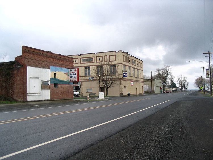
Prescott is a city in central Walla Walla County, Washington. The population was 318 at the 2010 census.
Contents
Map of Prescott, WA 99348, USA
History
A post office called Prescott has been in operation since 1881. The city was named after C.H. Prescott, a railroad official.
Prescott was officially incorporated on March 13, 1903.
Geography
Prescott is located at 46°17′56″N 118°18′52″W (46.298872, -118.314408).
According to the United States Census Bureau, the city has a total area of 0.40 square miles (1.04 km2), all of it land.
Climate
According to the Köppen Climate Classification system, Prescott has a semi-arid climate, abbreviated "BSk" on climate maps.
2010 census
As of the census of 2010, there were 318 people, 136 households, and 84 families residing in the city. The population density was 795.0 inhabitants per square mile (307.0/km2). There were 156 housing units at an average density of 390.0 per square mile (150.6/km2). The racial makeup of the city was 89.9% White, 0.6% African American, 0.9% Native American, 6.0% from other races, and 2.5% from two or more races. Hispanic or Latino of any race were 9.4% of the population.
There were 136 households of which 30.1% had children under the age of 18 living with them, 44.9% were married couples living together, 10.3% had a female householder with no husband present, 6.6% had a male householder with no wife present, and 38.2% were non-families. 28.7% of all households were made up of individuals and 9.6% had someone living alone who was 65 years of age or older. The average household size was 2.34 and the average family size was 2.90.
The median age in the city was 44.8 years. 23.3% of residents were under the age of 18; 8.5% were between the ages of 18 and 24; 18.6% were from 25 to 44; 35.5% were from 45 to 64; and 14.2% were 65 years of age or older. The gender makeup of the city was 50.3% male and 49.7% female.
2000 census
As of the census of 2000, there were 314 people, 123 households, and 87 families residing in the city. The population density was 919.9 people per square mile (356.6/km²). There were 152 housing units at an average density of 445.3 per square mile (172.6/km²). The racial makeup of the city was 94.59% White, 0.32% African American, 0.96% Native American, 1.59% from other races, and 2.55% from two or more races. Hispanic or Latino of any race were 4.14% of the population.
There were 123 households out of which 36.6% had children under the age of 18 living with them, 54.5% were married couples living together, 11.4% had a female householder with no husband present, and 28.5% were non-families. 22.8% of all households were made up of individuals and 5.7% had someone living alone who was 65 years of age or older. The average household size was 2.55 and the average family size was 3.01.
In the city, the age distribution of the population shows 27.4% under the age of 18, 5.4% from 18 to 24, 32.2% from 25 to 44, 22.6% from 45 to 64, and 12.4% who were 65 years of age or older. The median age was 38 years. For every 100 females there were 127.5 males. For every 100 females age 18 and over, there were 107.3 males.
The median income for a household in the city was $39,500, and the median income for a family was $47,708. Males had a median income of $34,750 versus $23,250 for females. The per capita income for the city was $16,931. About 13.8% of families and 18.4% of the population were below the poverty line, including 24.4% of those under age 18 and 10.3% of those age 65 or over.