
Existed: 1964 – present Length 12.34 km | North end: I‑5 near Maytown Counties: Thurston Constructed 1964 North end I‑5 near Maytown | |
 | ||
County | ||
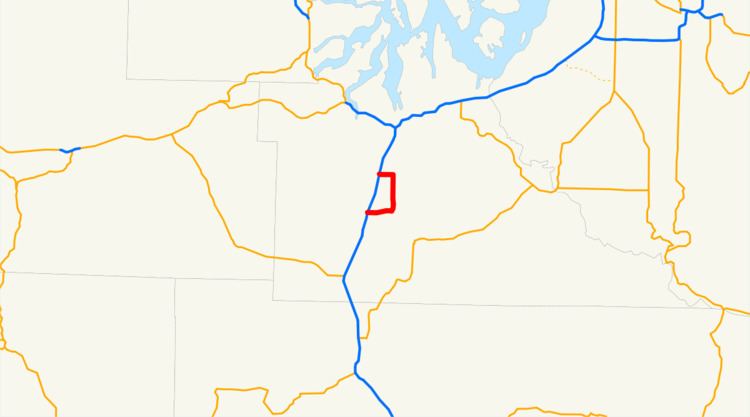
State Route 121 (SR 121) is a 7.67-mile (12.34 km) long state highway located entirely in Thurston County, Washington, United States. The highway forms a loop off Interstate 5 (I-5) near Maytown.
Contents
Map of WA-121, Olympia, WA, USA
Route description
SR 121 begins at a folded diamond interchange, exit 95 off I-5, and travels east along Maytown Road. Crossing Beaver Creek twice, the highway travels through lightly populated land, passing the small community of Maytown, before crossing the creek a third time, turning north onto Tilly Road. Immediately upon turning north, the highway crosses over a single track, which the highway paralleled from I-5 to Tilly Road, before passing east of Deep Lake. The highway crosses through Millersylvania State Park before turning west along 93rd Avenue to its northern terminus at exit 99 on I-5.
History
Between 1937 and the 1964 state highway renumbering, SR 121 was known as Secondary State Highway 1M, linking Rochester to Maytown.
Between the renumbering and 1967, the highway was numbered Sign Route 801, a branch of SR 8, which was decommissioned when U.S. Route 12 was extended into Washington, and the highways designation was changed to the current SR 121.
Major intersections
The entire route is in Thurston County.